Air Ambulance Helicopter to Bristol Royal Infirmary
Monday, 2 March 2026 | 15:48 | From Yate
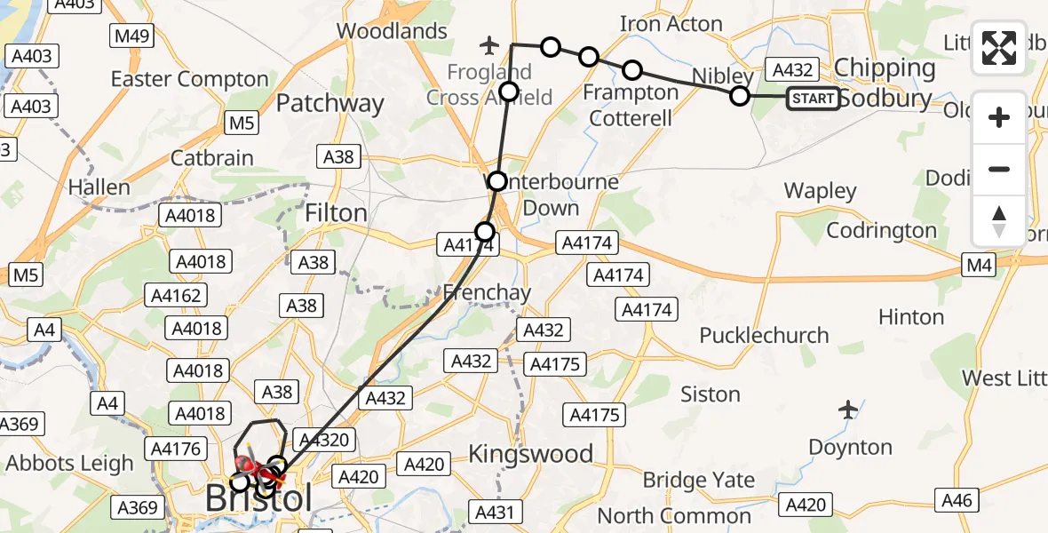
On Monday, 2 March 2026 at 15:48, a Air Ambulance Helicopter departed from Yate to Bristol Royal Infirmary. It was the Air Ambulance Helicopter with registration number G-GWAC. The flight lasted 16 minutes. During that period, the aircraft travelled 15 miles at an average speed of 54 miles per hour at a maximum altitude of 1100 feet.
Helicopter: G-GWAC
The helicopter G-GWAC is used as a air ambulance helicopter. The main purpose of this aircraft is to transport a Mobile Medical Team to an incident as quickly as possible, enabling the trauma doctor to provide immediate first aid on site. The aircraft is flying this flight as Air Ambulance Helicopter.
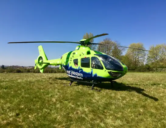
Photo: Mojo0306
15 miles
1100 feet
54 mph
17 minutes
15:48
16:05

Route
Bristol Royal Infirmary, Bristol16:05
Bristol Royal Infirmary, Bristol15:59
Bristol Royal Infirmary, Bristol15:58
Bristol Children's Hospital, Bristol15:58
Bristol Royal Infirmary, Bristol15:58
Bristol Royal Infirmary Helipad, Bristol15:57
Stokes Croft, West of England15:57
Bristol, West of England15:56
Bristol Royal Infirmary Helipad, Bristol15:56
Bristol, West of England15:52
Hambrook, West of England15:52
Swan Lane, West of England15:51
Swan Lane, West of England15:51
Bradley Stoke, West of England15:50
Latteridge, West of England15:50
Frampton Cotterell, West of England15:50
Nibley, West of England15:49
Hollybrook Mews, West of England15:49
Yate, West of England15:48
Live flights
Today
Flights Yate
Air Ambulance Helicopter to Yate, Deerhurst8 Apr 12:32
Helicopter flights on your website?
You can easily display helicopter flights on your own website. Use the embed code.
