Police Helicopter to MOD St Athan
Saturday, 28 February 2026 | 19:27 | From Llancarfan
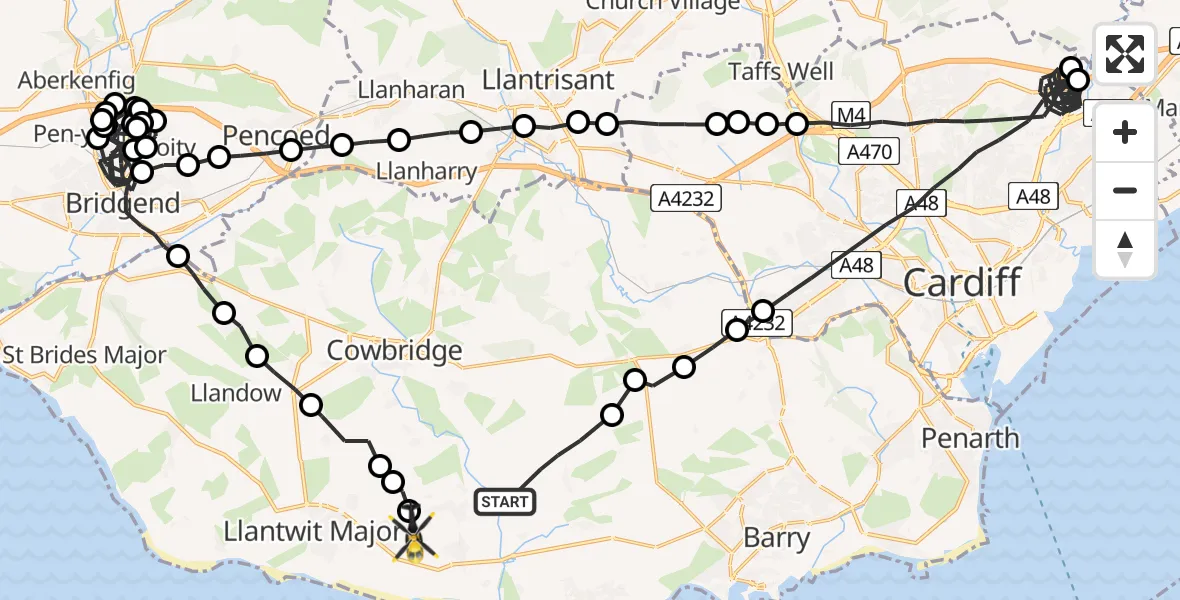
On Saturday, 28 February 2026 at 19:27, a Police Helicopter departed from Llancarfan to MOD St Athan. It was the Police Helicopter with registration number G-NWOI. The flight lasted 56 minutes. During that period, the aircraft travelled 81 miles at an average speed of 88 miles per hour at a maximum altitude of 1775 feet.
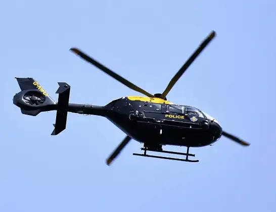
Helicopter: G-NWOI
The helicopter G-NWOI is used by the British police. The helicopter is deployed in pursuits, missing persons cases and other incidents where a helicopter provides added value.
Photo: Alec Wilson
82 miles
1775 feet
88 mph
56 minutes
19:27
20:23

Route
MOD St Athan, St Athan, Vale of Glamorgan20:23
MOD St Athan, St Athan, Vale of Glamorgan20:22
Eglwys Brewis20:22
St Mary Church20:22
Sigingstone20:21
Llysworney20:20
Colwinston20:19
Corntown20:19
Bridgend20:15
Sarn20:14
Bridgend20:13
Coity20:13
Sarn20:12
Bridgend20:12
Coity20:11
Sarn20:11
Pen-y-fai20:11
Bridgend20:10
Coity20:09
Sarn20:09
Pen-y-fai20:08
Bridgend20:07
Coity20:07
Sarn20:06
Bridgend20:01
Coity20:00
Coychurch20:00
Pencoed19:59
Llanilid19:59
Bryncae19:58
Llanharry19:57
Pontyclun19:57
Llantrisant19:56
Groes-faen19:56
Cardiff19:55
Gwaelod-y-garth19:55
Cardiff19:55
Gwaelod-y-garth19:54
Cardiff19:49
Pontprennau19:48
Cardiff19:30
Drope19:30
St Nicholas19:29
Bonvilston19:29
St Nicholas and Bonvilston19:28
Llancarfan, 19:27
Live flights
Today
Flights Llancarfan
Air Ambulance Helicopter to Cardiff Heliport27 May 16:00
Air Ambulance Helicopter to Llancarfan27 May 14:38
Police Helicopter to MOD St Athan21 Mar 21:21
Police Helicopter to Kidlington, Llancadle Road20 Mar 11:18
Police Helicopter to MOD St Athan18 Mar 10:40
Police Helicopter to MOD St Athan17 Mar 20:39
Police Helicopter to MOD St Athan4 Mar 18:36
Police Helicopter to MOD St Athan28 Feb 19:27
Police Helicopter to Llancarfan27 Feb 13:38
Helicopter flights on your website?
You can easily display helicopter flights on your own website. Use the embed code.
