Air Ambulance Helicopter to Lambourn, M4
Friday, 27 February 2026 | 14:39 | From Wiltshire Air Ambulance
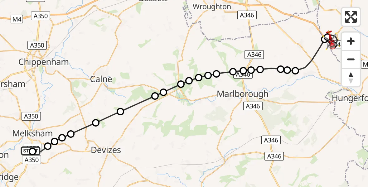
On Friday, 27 February 2026 at 14:39, a Air Ambulance Helicopter departed from Wiltshire Air Ambulance to Lambourn. It was the Air Ambulance Helicopter with registration number G-WLTS. The flight lasted 13 minutes. During that period, the aircraft travelled 31 miles at an average speed of 147 miles per hour at a maximum altitude of 1725 feet.
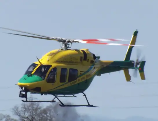
Helicopter: G-WLTS
The helicopter G-WLTS is used as a air ambulance helicopter. The main purpose of this aircraft is to transport a Mobile Medical Team to an incident as quickly as possible, enabling the trauma doctor to provide immediate first aid on site. The aircraft is flying this flight as Air Ambulance Helicopter.
Photo: James
31 miles
1725 feet
147 mph
13 minutes
14:39
14:52

Route
M4, 14:52
Lambourn14:51
Membury Airfield, Hungerford, Berkshire14:50
Lambourn14:49
Ramsbury14:47
Marlborough14:47
Ramsbury14:47
Mildenhall14:46
Ogbourne St. Andrew14:46
Marlborough14:46
Ogbourne St Andrew14:46
Marlborough14:45
Fyfield14:45
West Overton14:45
Avebury14:44
Marlborough14:44
Beckhampton14:44
Avebury14:43
Bishops Cannings14:42
Heddington14:42
Bromham14:41
Melksham Without14:41
Craysmarsh Airstrip, Melksham14:40
Seend Cleeve14:40
Melksham14:39
Commerce Way, 14:39
Live flights
Police Helicopter on its way from Ewelme13 Jul 22:24
Today
Police Helicopter to Bournemouth Airport13 Jul 23:55
Air Ambulance Helicopter to Cardiff Heliport13 Jul 23:38
Police Helicopter to Birmingham Airport13 Jul 23:21
Police Helicopter to Irlam, Twelve Yards Road13 Jul 23:00
Flights Lambourn
Air Ambulance Helicopter to Lambourn, M411 Apr 11:11
Air Ambulance Helicopter to Lambourn, M427 Feb 14:39
Helicopter flights on your website?
You can easily display helicopter flights on your own website. Use the embed code.
