Police Helicopter to East Ardsley, Stoney Lane
Friday, 27 February 2026 | 13:48 | From Ossett
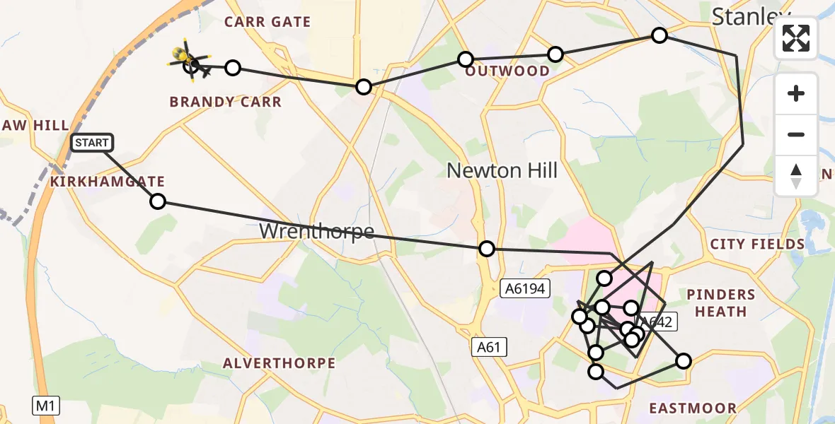
On Friday, 27 February 2026 at 13:48, a Police Helicopter departed from Ossett to East Ardsley. It was the Police Helicopter with registration number G-POLB. The flight lasted 9 minutes. During that period, the aircraft travelled 11 miles at an average speed of 75 miles per hour at a maximum altitude of 1400 feet.
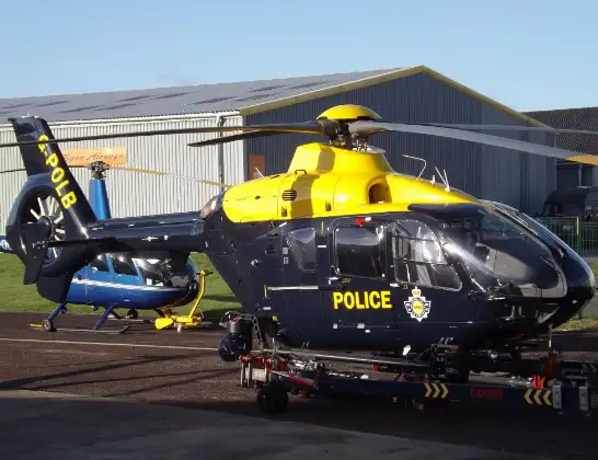
Helicopter: G-POLB
The helicopter G-POLB is used by the British police. The helicopter is deployed in pursuits, missing persons cases and other incidents where a helicopter provides added value.
Photo: James from Cheltenham, Gloucestershire
12 miles
1400 feet
75 mph
10 minutes
13:48
13:58

Route
Stoney Lane, Leeds13:58
East Ardsley, Leeds13:57
Wakefield, West Yorkshire13:57
Wrenthorpe, Wakefield13:57
Newton Hill, Wakefield13:57
Lofthouse Gate, Wakefield13:56
Newton Hill, Wakefield13:56
Stanley, Wakefield13:55
Newton Hill, Wakefield13:55
Stanley, Wakefield13:54
Newton Hill, Wakefield13:54
Stanley, Wakefield13:54
Newton Hill, Wakefield13:52
Stanley, Wakefield13:52
Newton Hill, Wakefield13:52
Stanley, Wakefield13:52
Newton Hill, Wakefield13:51
Stanley, Wakefield13:51
Newton Hill, Wakefield13:50
Wrenthorpe, Wakefield13:49
Ossett, Wakefield13:48
Live flights
Today
Police Helicopter to Ilfracombe13:52:31
Flights Ossett
Police Helicopter to East Ardsley, Stoney Lane23 Jun 13:13
Police Helicopter to East Ardsley, Stoney Lane10 Jun 21:33
Police Helicopter to Wrenthorpe, Stoney Lane12 May 13:24
Police Helicopter to Ossett, Greenlay Drive12 May 13:20
Police Helicopter to Wrenthorpe, Stoney Lane7 May 02:12
Police Helicopter to Wrenthorpe, M16 May 16:40
Police Helicopter to Gawthorpe, Batley Road2 May 20:14
Police Helicopter to East Ardsley, Stoney Lane17 Apr 20:42
Helicopter flights on your website?
You can easily display helicopter flights on your own website. Use the embed code.
