Police Helicopter to Treharris, Heol y Glyn
Friday, 27 February 2026 | 10:40 | From MOD St Athan
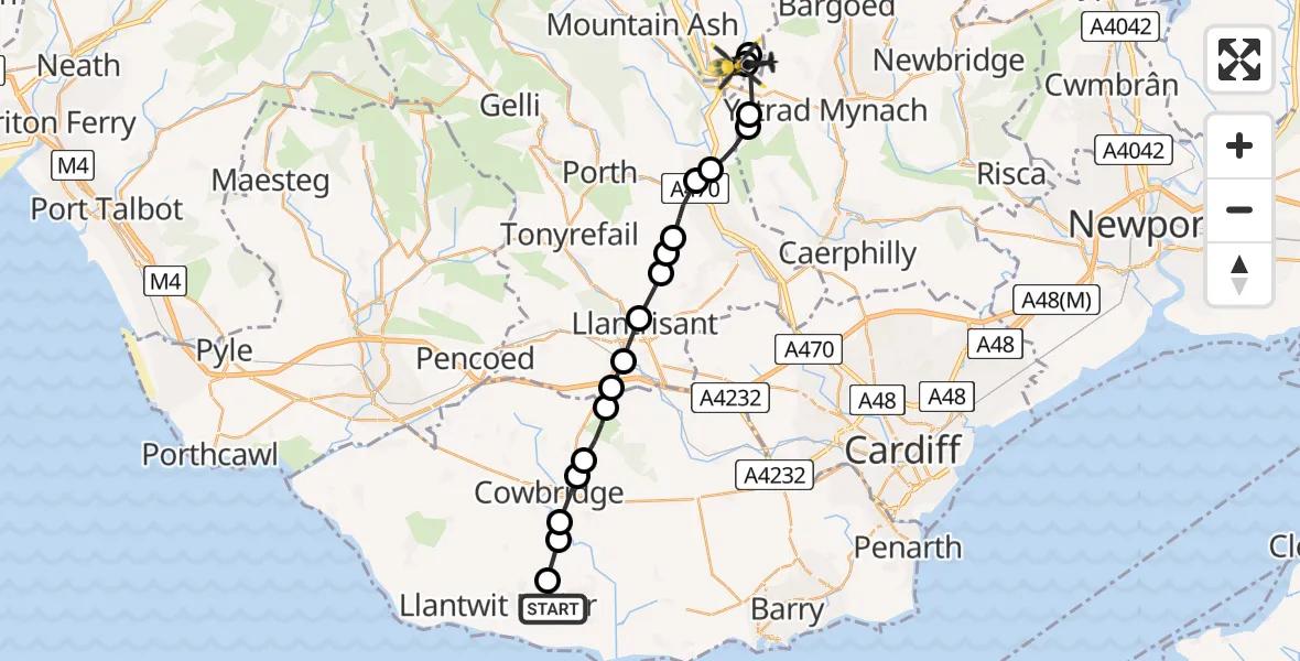
On Friday, 27 February 2026 at 10:40, a Police Helicopter departed from MOD St Athan to Treharris. It was the Police Helicopter with registration number G-NWOI. The flight lasted 12 minutes. During that period, the aircraft travelled 20 miles at an average speed of 100 miles per hour at a maximum altitude of 2475 feet.
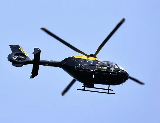
Helicopter: G-NWOI
The helicopter G-NWOI is used by the British police. The helicopter is deployed in pursuits, missing persons cases and other incidents where a helicopter provides added value.
Photo: Alec Wilson
21 miles
2475 feet
100 mph
13 minutes
10:40
10:52

Route
Heol y Glyn, 10:52
Treharris10:52
Trelewis10:51
Nelson10:47
Cilfynydd10:47
Cilfynydd, Pontypridd10:47
Graigwen, Pontypridd10:46
Y Graig, Pontypridd10:46
Pontypridd10:45
Beddau10:45
Llantrisant10:44
Pontyclun10:44
Brynsadler10:43
Pont-y-Clun10:43
Ystradowen10:42
Aberthin10:42
Cowbridge10:41
St Mary Church10:41
Eglwys Brewis10:40
MOD St Athan, St Athan, Vale of Glamorgan10:40
Today
Flights Treharris
Police Helicopter to Treharris9 Mar 17:33
Police Helicopter to Treharris, Heol y Glyn27 Feb 10:40
Helicopter flights on your website?
You can easily display helicopter flights on your own website. Use the embed code.
