Air Ambulance Helicopter to Westerham, Farley Lane
Thursday, 26 February 2026 | 10:25 | From Redhill Aerodrome
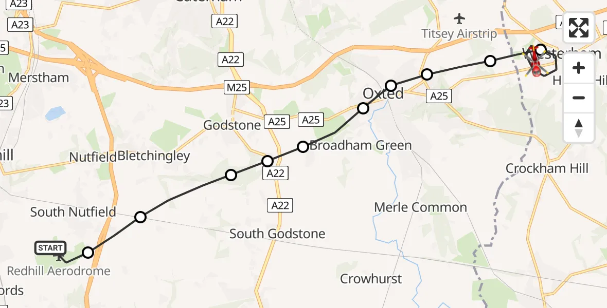
On Thursday, 26 February 2026 at 10:25, a Air Ambulance Helicopter departed from Redhill Aerodrome to Westerham. It was the Air Ambulance Helicopter with registration number G-KSSC. The flight lasted 6 minutes. During that period, the aircraft travelled 12 miles at an average speed of 115 miles per hour at a maximum altitude of 1100 feet.
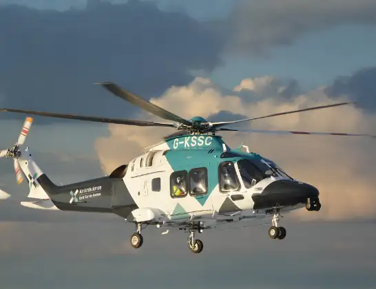
Helicopter: G-KSSC
The helicopter G-KSSC is used as a air ambulance helicopter. The main purpose of this aircraft is to transport a Mobile Medical Team to an incident as quickly as possible, enabling the trauma doctor to provide immediate first aid on site. The aircraft is flying this flight as Air Ambulance Helicopter.
Photo: Shona aakss
12 miles
1100 feet
115 mph
7 minutes
10:25
10:31

Route
Farley Lane, 10:31
Westerham10:29
Tandridge10:29
Limpsfield10:28
Limpsfield, Oxted10:28
Old Oxted, Oxted10:28
Old Oxted10:27
Godstone10:27
Bletchingley10:27
Tandridge10:26
South Nutfield10:25
Redhill Aerodrome, Redhill, Surrey10:25
Live flights
Police Helicopter on its way from RAF Benson12 Jul 22:54
Police Helicopter on its way from Dundrod12 Jul 22:50
Today
Police Helicopter to East Ardsley, Stoney Lane12 Jul 23:51
Police Helicopter to Birmingham Airport12 Jul 23:46
Air Ambulance Helicopter to Glasgow Airport12 Jul 22:48
Police Helicopter to Walton Wood Airfield12 Jul 22:44
Flights Westerham
Air Ambulance Helicopter to St Georges Hospital26 Feb 11:20
Helicopter flights on your website?
You can easily display helicopter flights on your own website. Use the embed code.
