Police Helicopter to Newcastle International Airport
Wednesday, 25 February 2026 | 21:55 | From Elsdon
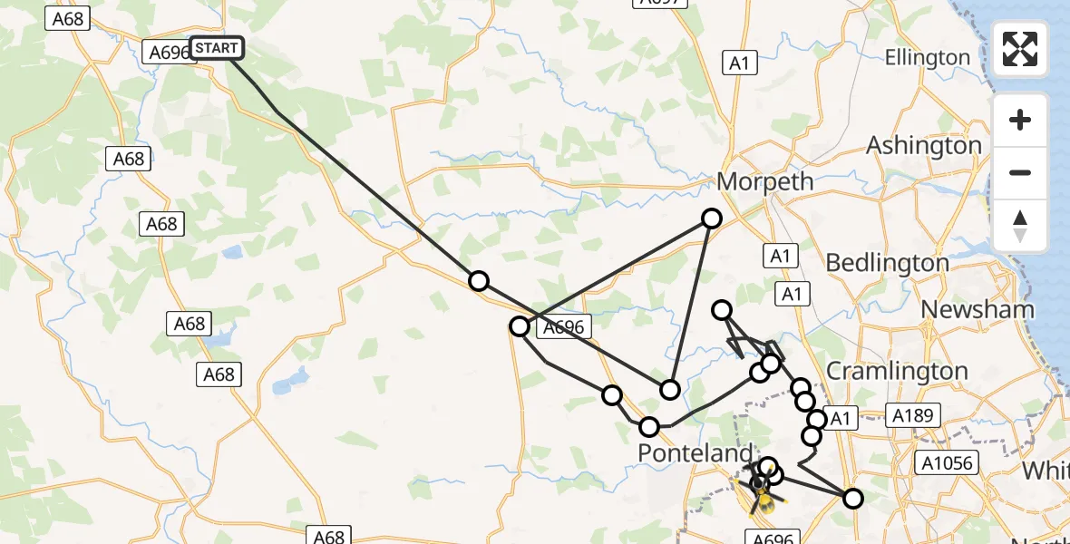
On Wednesday, 25 February 2026 at 21:55, a Police Helicopter departed from Elsdon to Newcastle International Airport. It was the Police Helicopter with registration number G-POLA. The flight lasted 15 minutes. During that period, the aircraft travelled 56 miles at an average speed of 223 miles per hour at a maximum altitude of 1850 feet.
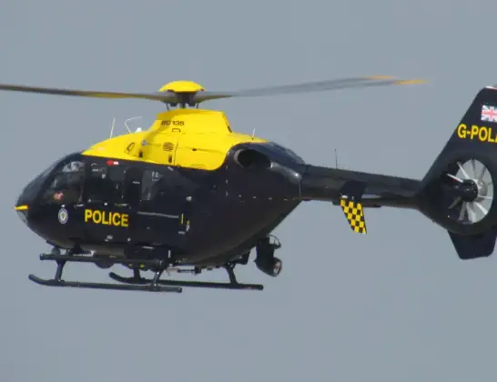
Helicopter: G-POLA
The helicopter G-POLA is used by the British police. The helicopter is deployed in pursuits, missing persons cases and other incidents where a helicopter provides added value.
Photo: ozz13x
56 miles
1850 feet
223 mph
15 minutes
21:55
22:10

Route
Newcastle International Airport, Newcastle upon Tyne, Tyne and Wear22:10
Newcastle International Airport, Newcastle upon Tyne, Tyne and Wear22:10
Dinnington, Newcastle upon Tyne22:09
Newcastle International Airport, Newcastle upon Tyne, Tyne and Wear22:09
Hazlerigg Village, Newcastle upon Tyne22:09
Dinnington, Newcastle upon Tyne22:08
Newcastle upon Tyne, North East22:08
Dinnington, Newcastle upon Tyne22:07
Ponteland, North East22:07
Stannington, North East22:06
St Mary's Park, North East22:05
Stannington, North East22:03
Ponteland, North East22:02
Milbourne, Ponteland22:01
Belsay, North East22:00
Mitford, North East22:00
Ponteland, North East22:00
Belsay, North East21:59
Elsdon, North East21:55
Live flights
Today
Flights Elsdon
Helicopter flights on your website?
You can easily display helicopter flights on your own website. Use the embed code.
