Air Ambulance Helicopter to Thruxton, Wiremead Lane
Wednesday, 25 February 2026 | 17:14 | From Bishop's Waltham
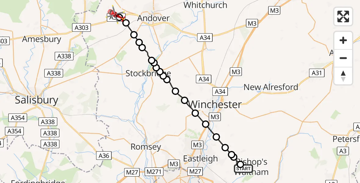
On Wednesday, 25 February 2026 at 17:14, a Air Ambulance Helicopter departed from Bishop's Waltham to Thruxton. It was the Air Ambulance Helicopter with registration number G-HIOW. The flight lasted 11 minutes. During that period, the aircraft travelled 24 miles at an average speed of 133 miles per hour at a maximum altitude of 1500 feet.
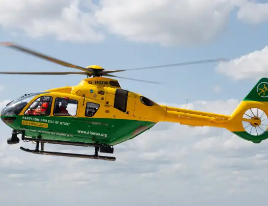
Helicopter: G-HIOW
The helicopter G-HIOW is used as a air ambulance helicopter. The main purpose of this aircraft is to transport a Mobile Medical Team to an incident as quickly as possible, enabling the trauma doctor to provide immediate first aid on site. The aircraft is flying this flight as Air Ambulance Helicopter.
Photo: JF2608
24 miles
1500 feet
133 mph
11 minutes
17:14
17:25

Route
Wiremead Lane, Test Valley17:25
Thruxton, Test Valley17:25
Monxton, Test Valley17:24
Abbotts Ann, Test Valley17:24
Upper Clatford, Test Valley17:23
Goodworth Clatford, Test Valley17:23
Longstock, Test Valley17:22
Test Valley17:22
Stockbridge, Test Valley17:22
Test Valley17:21
Stockbridge, Test Valley17:21
Test Valley17:21
King's Somborne, Test Valley17:20
Sparsholt, Winchester17:19
Hursley, Winchester17:19
Compton, Winchester17:18
Twyford, Winchester17:17
Colden Common, Winchester17:16
Eastleigh17:16
Fair Oak, Winchester17:15
Lower Upham, Winchester17:15
Field Close, Winchester17:14
Live flights
Today
Flights Thruxton
Police Helicopter to Test Valley, A30328 Apr 11:46
Air Ambulance Helicopter to Thruxton, A30319 Apr 14:51
Air Ambulance Helicopter to Thruxton, A30319 Apr 13:01
Air Ambulance Helicopter to Thruxton, A30319 Apr 12:50
Air Ambulance Helicopter to Thruxton19 Apr 03:13
Helicopter flights on your website?
You can easily display helicopter flights on your own website. Use the embed code.
