Police Helicopter to South Nutfield, Kings Cross Lane
Wednesday, 25 February 2026 | 16:03 | From Tonbridge
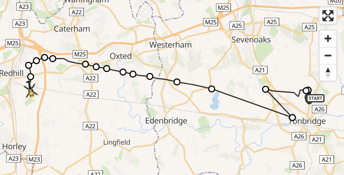
On Wednesday, 25 February 2026 at 16:03, a Police Helicopter departed from Tonbridge to South Nutfield. It was the Police Helicopter with registration number G-POLH. The flight lasted 18 minutes. During that period, the aircraft travelled 31 miles at an average speed of 105 miles per hour at a maximum altitude of 1200 feet.
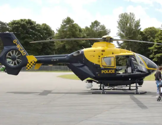
Helicopter: G-POLH
The helicopter G-POLH is used by the British police. The helicopter is deployed in pursuits, missing persons cases and other incidents where a helicopter provides added value.
Photo: Arpingstone
31 miles
1200 feet
105 mph
18 minutes
16:03
16:21

Route
Kings Cross Lane, 16:21
South Nutfield16:21
Nutfield16:20
Merstham, Reigate and Banstead16:20
Nutfield16:20
Bletchingley16:19
Godstone16:18
Tandridge16:18
Old Oxted16:18
Broadham Green, Oxted16:17
Merle Common, Oxted16:17
Merle Common16:17
Crockham Hill, Sevenoaks16:16
Sevenoaks16:15
Tonbridge, Tonbridge and Malling16:13
Tonbridge and Malling16:13
Hildenborough, Tonbridge and Malling16:12
Tonbridge and Malling16:12
Denbeigh Drive, Tonbridge and Malling16:06
Woodlands Walk (MU6), Tonbridge and Malling16:03
Live flights
Today
Police Helicopter to Epping Forest, Green Lane26 Feb 23:43
Flights Tonbridge
Police Helicopter to Tonbridge, Shipbourne Road25 Feb 15:54
Police Helicopter to Tonbridge, Silver Close9 Feb 02:40
Police Helicopter to Tonbridge, Silver Close9 Feb 02:47
Police Helicopter to Tonbridge, Silver Close9 Feb 02:47
Police Helicopter to Tonbridge, Silver Close9 Feb 02:47
Police Helicopter to Tonbridge, Silver Close9 Feb 02:47
Police Helicopter to Tonbridge, Silver Close9 Feb 02:47
Police Helicopter to Tonbridge, Silver Close9 Feb 02:47
Police Helicopter to Tonbridge, Silver Close9 Feb 02:47
Helicopter flights on your website?
You can easily display helicopter flights on your own website. Use the embed code.
