Police Helicopter to Kenfig, Heol Gorllewin
Sunday, 22 February 2026 | 20:17 | From MOD St Athan
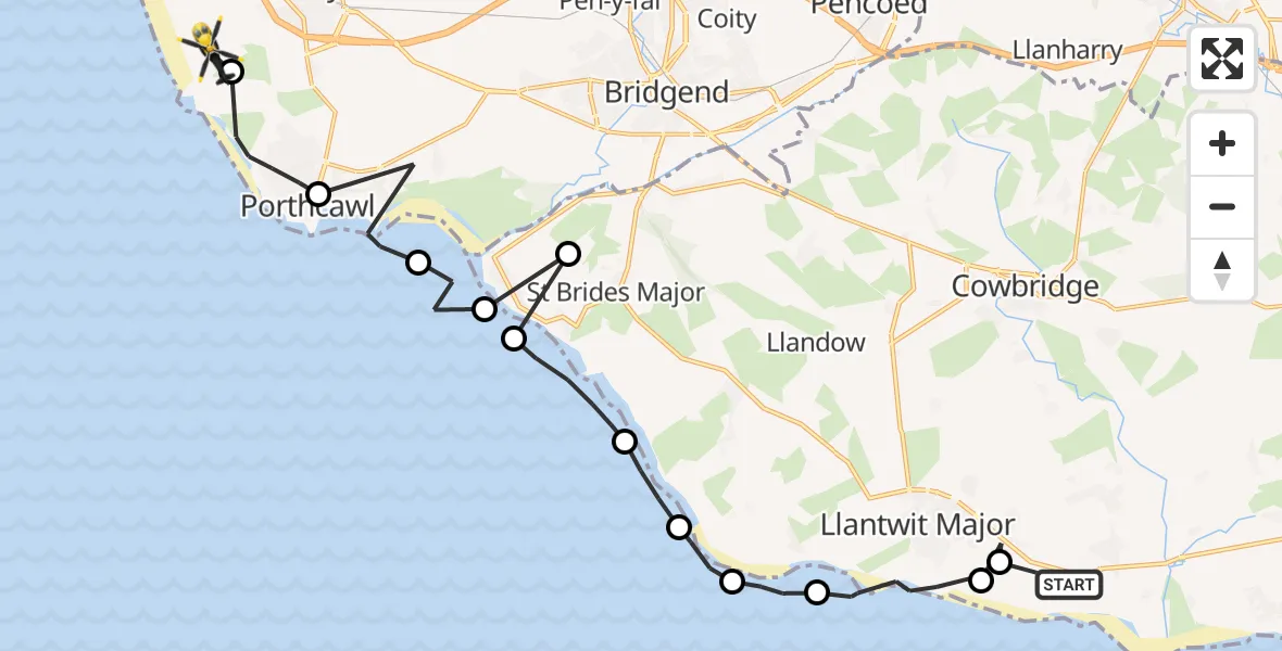
On Sunday, 22 February 2026 at 20:17, a Police Helicopter departed from MOD St Athan to Kenfig. It was the Police Helicopter with registration number G-NWOI. The flight lasted 10 minutes. During that period, the aircraft travelled 23 miles at an average speed of 139 miles per hour at a maximum altitude of 1375 feet.
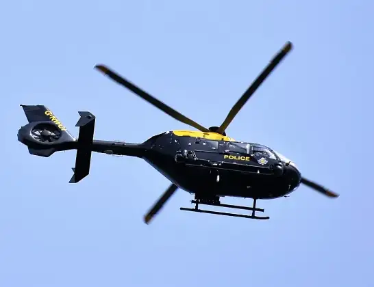
Helicopter: G-NWOI
The helicopter G-NWOI is used by the British police. The helicopter is deployed in pursuits, missing persons cases and other incidents where a helicopter provides added value.
Photo: Alec Wilson
23 miles
1375 feet
139 mph
10 minutes
20:17
20:27

Route
Heol Gorllewin, 20:27
Kenfig20:27
Porthcawl20:25
Newton20:24
Ogmore-by-Sea20:24
Ogmore20:24
Ogmore-by-Sea20:23
Southerndown20:22
Monknash20:21
Marcross20:21
St Donats20:20
Llantwit Major20:18
Boverton20:18
MOD St Athan, St Athan, Vale of Glamorgan20:17
Live flights
Today
Flights Kenfig
Police Helicopter to Kenfig, Heol Gorllewin22 Feb 20:17
Helicopter flights on your website?
You can easily display helicopter flights on your own website. Use the embed code.
