Police Helicopter to South Nutfield, Kings Cross Lane
Sunday, 22 February 2026 | 16:02 | From Shere
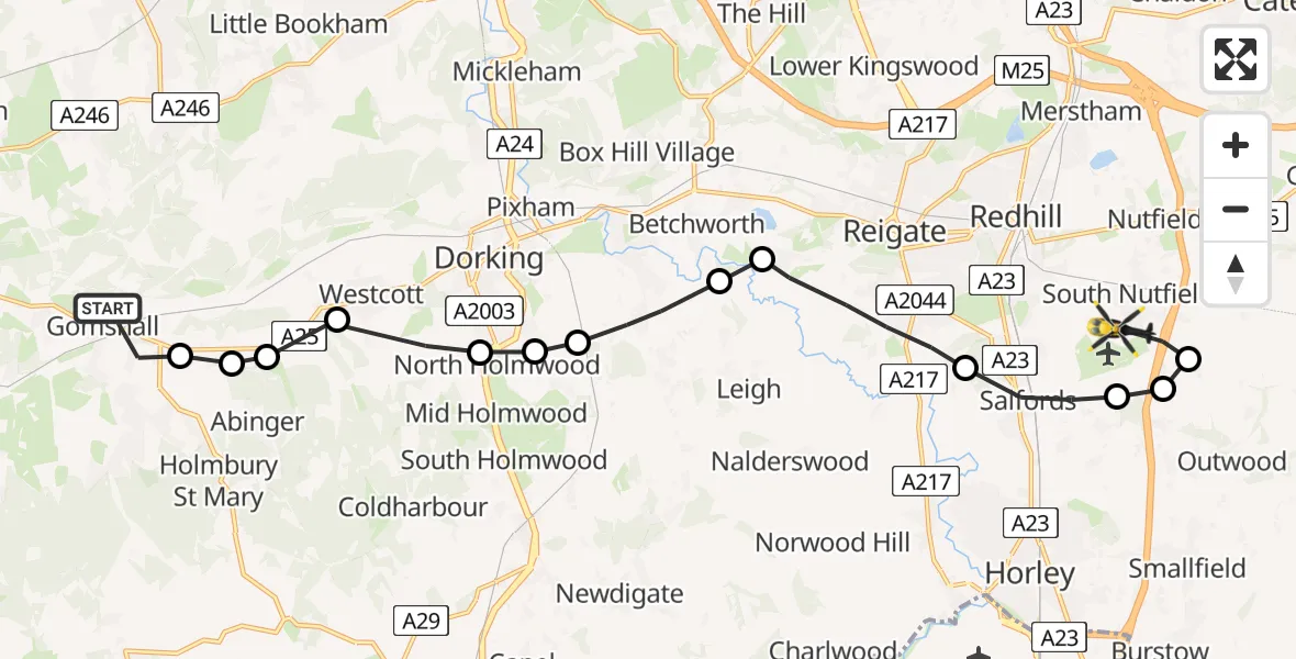
On Sunday, 22 February 2026 at 16:02, a Police Helicopter departed from Shere to South Nutfield. It was the Police Helicopter with registration number G-POLH. The flight lasted 6 minutes. During that period, the aircraft travelled 17 miles at an average speed of 158 miles per hour at a maximum altitude of 1200 feet.
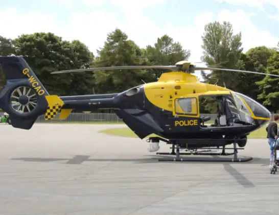
Helicopter: G-POLH
The helicopter G-POLH is used by the British police. The helicopter is deployed in pursuits, missing persons cases and other incidents where a helicopter provides added value.
Photo: Arpingstone
17 miles
1200 feet
158 mph
7 minutes
16:02
16:09

Route
Kings Cross Lane, 16:09
South Nutfield16:08
Outwood16:08
Tandridge16:08
Salfords, Reigate and Banstead16:07
Reigate, Reigate and Banstead16:06
Betchworth, Mole Valley16:05
Brockham, Mole Valley16:05
North Holmwood, Mole Valley16:04
Dorking, Mole Valley16:04
Westcott, Mole Valley16:03
Mole Valley16:03
Abinger, Mole Valley16:03
Abinger Hammer, Mole Valley16:03
Old Drive, Guildford16:02
Live flights
Today
Police Helicopter to Epping Forest, Green Lane26 Feb 23:43
Flights Shere
Police Helicopter to Shere, Towerhill Lane22 Feb 15:43
Police Helicopter to Salfords, Kings Mill Lane10 Jan 15:05
Police Helicopter to Shere, Hound House Road10 Jan 15:00
Police Helicopter to Shere, Hound House Road10 Jan 14:37
Police Helicopter to Shere, Towerhill Lane10 Jan 14:32
Police Helicopter to Shere, Hound House Road10 Jan 14:12
Helicopter flights on your website?
You can easily display helicopter flights on your own website. Use the embed code.
