Police Helicopter to South Nutfield, Crab Hill Lane
Sunday, 22 February 2026 | 11:42 | From Redhill
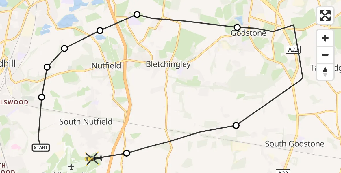
On Sunday, 22 February 2026 at 11:42, a Police Helicopter departed from Redhill to South Nutfield. It was the Police Helicopter with registration number G-POLH. The flight lasted 12 minutes. During that period, the aircraft travelled 11 miles at an average speed of 55 miles per hour at a maximum altitude of 800 feet.
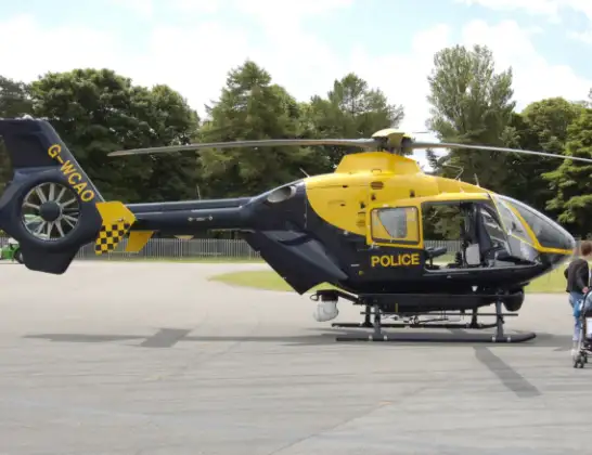
Helicopter: G-POLH
The helicopter G-POLH is used by the British police. The helicopter is deployed in pursuits, missing persons cases and other incidents where a helicopter provides added value.
Photo: Arpingstone
12 miles
800 feet
55 mph
13 minutes
11:42
11:55

Route
Crab Hill Lane, 11:55
South Nutfield11:54
Tandridge11:53
Godstone11:45
Bletchingley11:44
Nutfield11:44
Nutfield, Reigate and Banstead11:43
Redhill, Reigate and Banstead11:43
South Nutfield11:43
Canadian Road, Reigate and Banstead11:42
Live flights
Today
Police Helicopter to Epping Forest, Green Lane26 Feb 23:43
Flights Redhill
Police Helicopter to South Nutfield, M2319 Feb 22:13
Police Helicopter to Guildford, Sandy Lane14 Feb 09:52
Police Helicopter to Redhill, Rosemead Close27 Jan 00:14
Helicopter flights on your website?
You can easily display helicopter flights on your own website. Use the embed code.
