Police Helicopter to Guildford, Sandy Lane
Saturday, 14 February 2026 | 9:52 | From Redhill
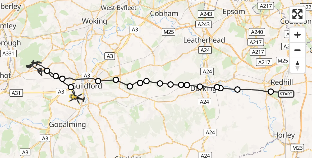
On Saturday, 14 February 2026 at 9:52, a Police Helicopter departed from Redhill to Guildford. It was the Police Helicopter with registration number G-POLH. The flight lasted 22 minutes. During that period, the aircraft travelled 38 miles at an average speed of 106 miles per hour at a maximum altitude of 1100 feet.
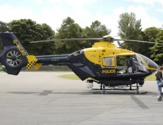
Helicopter: G-POLH
The helicopter G-POLH is used by the British police. The helicopter is deployed in pursuits, missing persons cases and other incidents where a helicopter provides added value.
Photo: Arpingstone
38 miles
1100 feet
106 mph
22 minutes
09:52
10:13

Route
Sandy Lane, 10:13
Guildford10:11
Wood Street, Guildford10:11
Normandy, Guildford10:01
Wood Street, Guildford10:00
Guildford09:59
West Clandon, Guildford09:58
Guildford09:58
Shere, Guildford09:57
West Horsley, Guildford09:57
Mole Valley09:57
Effingham, Guildford09:56
Westcott, Mole Valley09:56
Mole Valley09:56
Dorking, Mole Valley09:55
Pixham, Mole Valley09:54
Brockham, Mole Valley09:54
Betchworth, Mole Valley09:54
Reigate, Reigate and Banstead09:52
Oaklands Lane, Reigate and Banstead09:52
Today
Flights Guildford
Air Ambulance Helicopter to Redhill Aerodrome11 Jul 23:49
Air Ambulance Helicopter to Redhill Aerodrome25 Jun 04:42
Air Ambulance Helicopter to Guildford, Clay Lane25 Jun 04:01
Flights Redhill
Police Helicopter to Tandridge, Moats Lane29 May 15:09
Police Helicopter to North Weald Airfield20 May 11:58
Police Helicopter to Betchworth, FP 44819 Apr 12:44
Police Helicopter to Salfords, Moats Lane31 Mar 14:37
Police Helicopter to Redhill Aerodrome30 Mar 13:28
Police Helicopter to Redhill Aerodrome28 Mar 18:17
Police Helicopter to Redhill, Canadian Road16 Mar 15:59
Helicopter flights on your website?
You can easily display helicopter flights on your own website. Use the embed code.
