Air Ambulance Helicopter to Wiltshire Air Ambulance, Commerce Way
Saturday, 21 February 2026 | 10:49 | From Frome
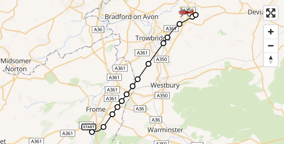
On Saturday, 21 February 2026 at 10:49, a Air Ambulance Helicopter departed from Frome to Wiltshire Air Ambulance. It was the Air Ambulance Helicopter with registration number G-WLTS. The flight lasted 8 minutes. During that period, the aircraft travelled 15 miles at an average speed of 124 miles per hour at a maximum altitude of 825 feet.
Helicopter: G-WLTS
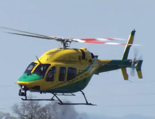
The helicopter G-WLTS is used as a air ambulance helicopter. The main purpose of this aircraft is to transport a Mobile Medical Team to an incident as quickly as possible, enabling the trauma doctor to provide immediate first aid on site. The aircraft is flying this flight as Air Ambulance Helicopter.
Photo: James
16 miles
825 feet
124 mph
8 minutes
10:49
10:56

Route
Wiltshire Air Ambulance10:56
Commerce Way, 10:56
Melksham10:55
Seend10:54
Semington10:54
Hilperton10:53
Trowbridge10:53
North Bradley10:52
Brokerswood10:52
Lower Rudge10:52
Standerwick10:51
Berkley10:51
Selwood10:51
Frome10:51
East Woodlands10:50
West Woodlands10:50
Frome Bypass, 10:49
Live flights
Today
Flights Frome
Air Ambulance Helicopter to Frome, Rodden Road17 May 19:24
Air Ambulance Helicopter to Frome, Rodden Road17 May 19:09
Air Ambulance Helicopter to Frome13 Mar 19:20
Air Ambulance Helicopter to Frome13 Mar 19:09
Helicopter flights on your website?
You can easily display helicopter flights on your own website. Use the embed code.
