Police Helicopter to South Nutfield, Crab Hill Lane
Friday, 20 February 2026 | 14:38 | From Burstow
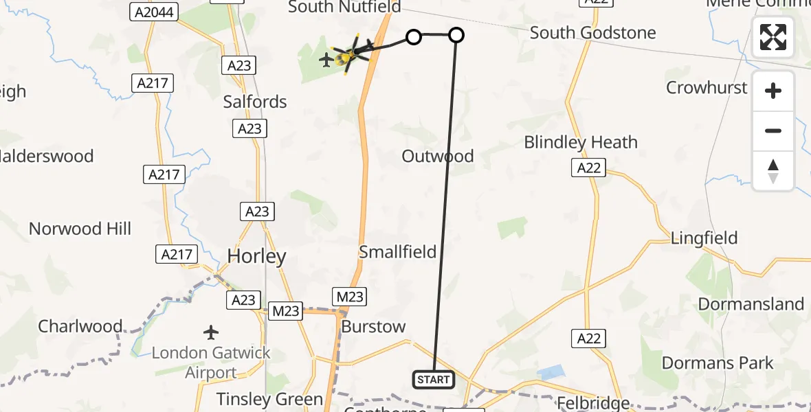
On Friday, 20 February 2026 at 14:38, a Police Helicopter departed from Burstow to South Nutfield. It was the Police Helicopter with registration number G-POLH. The flight lasted 1 minutes. During that period, the aircraft travelled 7 miles at an average speed of 301 miles per hour at a maximum altitude of 700 feet.
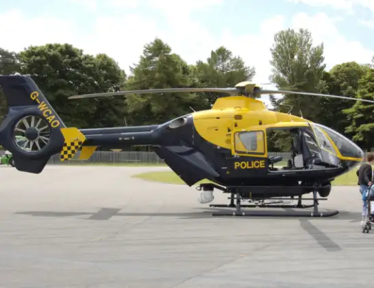
Helicopter: G-POLH
The helicopter G-POLH is used by the British police. The helicopter is deployed in pursuits, missing persons cases and other incidents where a helicopter provides added value.
Photo: Arpingstone
7 miles
700 feet
301 mph
2 minutes
14:38
14:39

Route
Crab Hill Lane, 14:39
South Nutfield14:39
Tandridge14:38
East Hill Lane, 14:38
Live flights
Police Helicopter on its way from Ewelme13 Jul 22:24
Today
Police Helicopter to Bournemouth Airport13 Jul 23:55
Air Ambulance Helicopter to Cardiff Heliport13 Jul 23:38
Police Helicopter to Birmingham Airport13 Jul 23:21
Police Helicopter to Irlam, Twelve Yards Road13 Jul 23:00
Flights Burstow
Helicopter flights on your website?
You can easily display helicopter flights on your own website. Use the embed code.
