Air Ambulance Helicopter to Liverpool, South Drive
Friday, 20 February 2026 | 10:40 | From Ormskirk
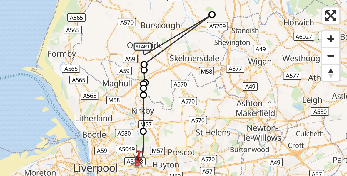
On Friday, 20 February 2026 at 10:40, a Air Ambulance Helicopter departed from Ormskirk to Liverpool. It was the Air Ambulance Helicopter with registration number G-NWAA. The flight lasted 7 minutes. During that period, the aircraft travelled 26 miles at an average speed of 225 miles per hour at a maximum altitude of 1075 feet.
Helicopter: G-NWAA
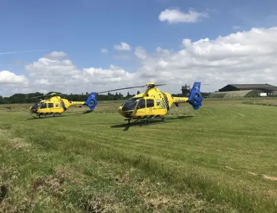
The helicopter G-NWAA is used as a air ambulance helicopter. The main purpose of this aircraft is to transport a Mobile Medical Team to an incident as quickly as possible, enabling the trauma doctor to provide immediate first aid on site. The aircraft is flying this flight as Air Ambulance Helicopter.
Photo: Legion23
26 miles
1075 feet
225 mph
7 minutes
10:40
10:47

Route
South Drive, Liverpool City Region10:47
Liverpool, Liverpool City Region10:44
Knowsley, Kirkby10:43
Simonswood, West Lancashire10:42
Bickerstaffe, Liverpool City Region10:42
Simonswood, West Lancashire10:42
West Lancashire, Lancashire10:41
Town Green, West Lancashire10:41
Andertons Mill, West Lancashire10:41
Park Road, West Lancashire10:40
Live flights
Today
Police Helicopter to Epping Forest, Green Lane26 Feb 23:43
Flights Liverpool
Coastguard Helicopter to Liverpool, Lower Lane24 Feb 15:01
Coastguard Helicopter to Liverpool, Lower Lane19 Feb 18:12
Flights Ormskirk
Air Ambulance Helicopter to Ormskirk, Park Road20 Feb 09:52
Helicopter flights on your website?
You can easily display helicopter flights on your own website. Use the embed code.
