Air Ambulance Helicopter to Down Hatherley, Down Hatherley Lane
Thursday, 19 February 2026 | 16:30 | From Littledean
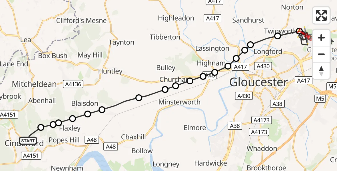
On Thursday, 19 February 2026 at 16:30, a Air Ambulance Helicopter departed from Littledean to Down Hatherley. It was the Air Ambulance Helicopter with registration number G-GWAC. The flight lasted 11 minutes. During that period, the aircraft travelled 18 miles at an average speed of 102 miles per hour at a maximum altitude of 1475 feet.
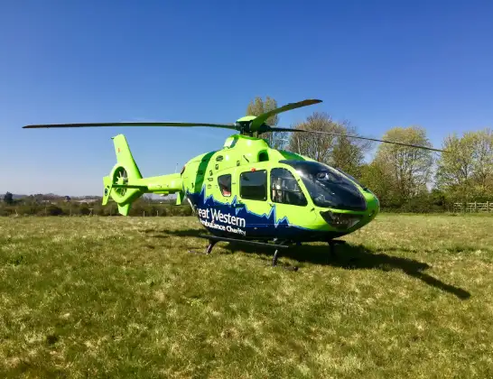
Helicopter: G-GWAC
The helicopter G-GWAC is used as a air ambulance helicopter. The main purpose of this aircraft is to transport a Mobile Medical Team to an incident as quickly as possible, enabling the trauma doctor to provide immediate first aid on site. The aircraft is flying this flight as Air Ambulance Helicopter.
Photo: Mojo0306
18 miles
1475 feet
102 mph
11 minutes
16:30
16:40

Route
Down Hatherley, Tewkesbury16:40
Down Hatherley Lane, Tewkesbury16:39
Down Hatherley Lane, Tewkesbury16:38
Highgrove Way, Tewkesbury16:38
Down Hatherley, Tewkesbury16:36
Twigworth, Tewkesbury16:35
Longford, Tewkesbury16:35
Alney Island16:35
Maisemore, Tewkesbury16:34
Over Farm Microlight16:34
Oakridge, Tewkesbury16:34
Highnam, Tewkesbury16:34
Churcham, Tewkesbury16:33
Churcham, Forest of Dean16:33
Bulley, Forest of Dean16:33
Forest of Dean16:32
Northwood Green, Forest of Dean16:32
Blaisdon, Forest of Dean16:31
Forest of Dean16:31
Flaxley, Forest of Dean16:31
Littledean, Forest of Dean16:31
Popes Hill, Forest of Dean16:30
Littledean, Cinderford16:30
Live flights
Police Helicopter on its way from Ewelme13 Jul 22:24
Today
Police Helicopter to Bournemouth Airport13 Jul 23:55
Air Ambulance Helicopter to Cardiff Heliport13 Jul 23:38
Police Helicopter to Birmingham Airport13 Jul 23:21
Police Helicopter to Irlam, Twelve Yards Road13 Jul 23:00
Flights Littledean
Helicopter flights on your website?
You can easily display helicopter flights on your own website. Use the embed code.
