Air Ambulance Helicopter to Blackburn, Saint Gabriels Avenue
Wednesday, 18 February 2026 | 10:05 | From Blackpool Airport
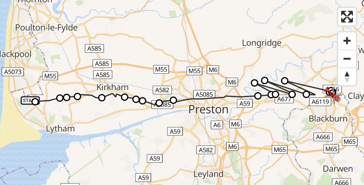
On Wednesday, 18 February 2026 at 10:05, a Air Ambulance Helicopter departed from Blackpool Airport to Blackburn. It was the Air Ambulance Helicopter with registration number G-NWAA. The flight lasted 15 minutes. During that period, the aircraft travelled 37 miles at an average speed of 154 miles per hour at a maximum altitude of 1575 feet.
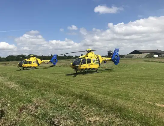
Helicopter: G-NWAA
The helicopter G-NWAA is used as a air ambulance helicopter. The main purpose of this aircraft is to transport a Mobile Medical Team to an incident as quickly as possible, enabling the trauma doctor to provide immediate first aid on site. The aircraft is flying this flight as Air Ambulance Helicopter.
Photo: Legion23
38 miles
1575 feet
154 mph
15 minutes
10:05
10:20

Route
Saint Gabriels Avenue, Lancashire10:20
Blackburn, Lancashire10:20
Brownhill, Lancashire10:19
Wilpshire, Blackburn10:19
Blackburn, Lancashire10:18
Balderstone, Ribble Valley10:18
Mellor, Ribble Valley10:17
Ribble Valley, Lancashire10:17
Mellor Brook, Ribble Valley10:16
Preston, Lancashire10:16
Balderstone, Ribble Valley10:16
Preston, Lancashire10:16
Samlesbury, South Ribble10:15
Preston, Lancashire10:12
Lea Town, Preston10:11
Clifton, Fylde10:10
Newton-with-Scales, Preston10:10
Newton-with-Scales, Fylde10:10
Fylde, Lancashire10:09
Wrea Green, Fylde10:08
Fylde, Lancashire10:07
Wrea Green, Fylde10:07
Lytham St Annes, Fylde10:06
Holly Mews, Fylde10:05
Live flights
Today
Police Helicopter to Epping Forest, Green Lane26 Feb 23:43
Flights Blackburn
Air Ambulance Helicopter to Blackburn, Lark Hill13 Feb 10:22
Air Ambulance Helicopter to Melling, A68328 Jan 11:53
Helicopter flights on your website?
You can easily display helicopter flights on your own website. Use the embed code.
