Air Ambulance Helicopter to North Dronley, The Railway Path
Tuesday, 17 February 2026 | 12:12 | From Carmore
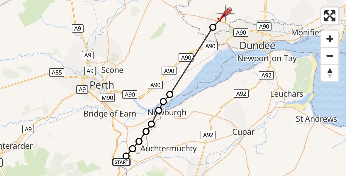
On Tuesday, 17 February 2026 at 12:12, a Air Ambulance Helicopter departed from Carmore to North Dronley. It was the Air Ambulance Helicopter with registration number G-SCAA. The flight lasted 10 minutes. During that period, the aircraft travelled 20 miles at an average speed of 123 miles per hour at a maximum altitude of 1900 feet.
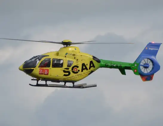
Helicopter: G-SCAA
The helicopter G-SCAA is used as a air ambulance helicopter. The main purpose of this aircraft is to transport a Mobile Medical Team to an incident as quickly as possible, enabling the trauma doctor to provide immediate first aid on site. The aircraft is flying this flight as Air Ambulance Helicopter.
Photo: Jonathan Payne
21 miles
1900 feet
123 mph
10 minutes
12:12
12:22

Route
The Railway Path, 12:22
Fowlis Easter12:21
Errol12:16
Hill of Errol12:16
Cottown12:15
Perth12:14
Abernethy12:14
Perth12:13
Balvaird12:13
Duncrievie12:12
Yellowhill Road, 12:12
Live flights
Police Helicopter on its way from Renfrew15 Jul 23:02
Today
Air Ambulance Helicopter to Dunkeswell Airfield15 Jul 23:01
Police Helicopter to Manchester Barton Aerodrome15 Jul 22:25
Police Helicopter to Baxterley Aerodrome15 Jul 22:24
Air Ambulance Helicopter to Henstridge Airfield15 Jul 22:14
Coastguard Helicopter to Argyll and Bute, B84515 Jul 22:05
Police Helicopter to MOD St Athan15 Jul 21:51
Flights Carmore
Helicopter flights on your website?
You can easily display helicopter flights on your own website. Use the embed code.
