Coastguard Helicopter to Cornwall Airport Newquay
Monday, 16 February 2026 | 16:07 | From Rock
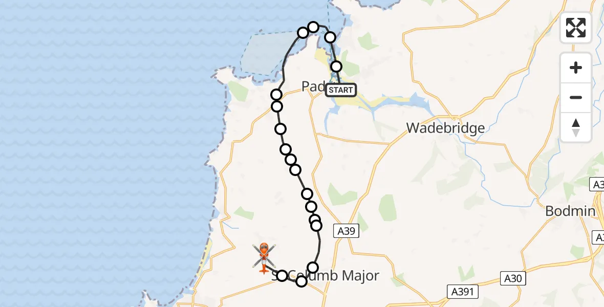
On Monday, 16 February 2026 at 16:07, a Coastguard Helicopter departed from Rock to Cornwall Airport Newquay. It was the Coastguard Helicopter with registration number G-MCGF. The flight lasted 18 minutes. During that period, the aircraft travelled 16 miles at an average speed of 52 miles per hour at a maximum altitude of 1625 feet.
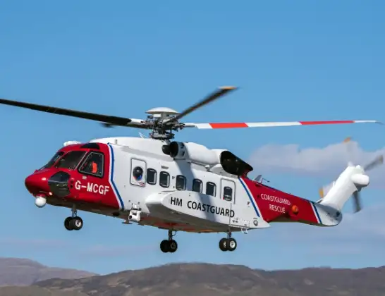
Helicopter: G-MCGF
The helicopter G-MCGF is used by the British Coastguard. The helicopter is deployed in search and rescue operations at sea, rescue operations involving ships or drilling platforms, patrols to prevent smuggling or piracy, environmental monitoring and disaster relief support.
Photo: The Carlisle Kid
16 miles
1625 feet
52 mph
19 minutes
16:07
16:25

Route
Cornwall Airport Newquay, Newquay16:25
Cornwall Airport Newquay, Newquay16:21
Cornwall Airport Newquay, Newquay16:20
Cornwall Airport Newquay, Newquay16:19
Cornwall Airport Newquay, Newquay16:17
St. Columb Major16:16
Gluvian, St. Columb Major16:16
Talskiddy, St. Columb Major16:15
St. Columb Major16:15
St. Ervan16:14
St. Columb Major16:14
Rumford16:14
St Ervan16:13
RNAS St. Merryn16:13
St. Merryn16:13
Harlyn16:12
Trevone16:12
Trevone, Padstow16:10
Padstow16:09
New Polzeath16:08
Trebetherick16:07
Rock Road, 16:07
Live flights
Police Helicopter on its way from Woodkirk16 Jul 22:20
Today
Air Ambulance Helicopter to Treliske Hospital16 Jul 22:54
Police Helicopter to Hawarden Airport16 Jul 22:41
Air Ambulance Helicopter to Redhill Aerodrome16 Jul 22:14
Police Helicopter to Sewardstonebury, Bury Road16 Jul 22:11
Coastguard Helicopter to English Channel16 Jul 22:09
Flights Rock
Air Ambulance Helicopter to Upper Strensham, M531 Mar 16:08
Air Ambulance Helicopter to Rock, The Greenway31 Mar 15:22
Helicopter flights on your website?
You can easily display helicopter flights on your own website. Use the embed code.
