Air Ambulance Helicopter to Ludgershall, Wood Park
Monday, 16 February 2026 | 12:06 | From Wiltshire Air Ambulance
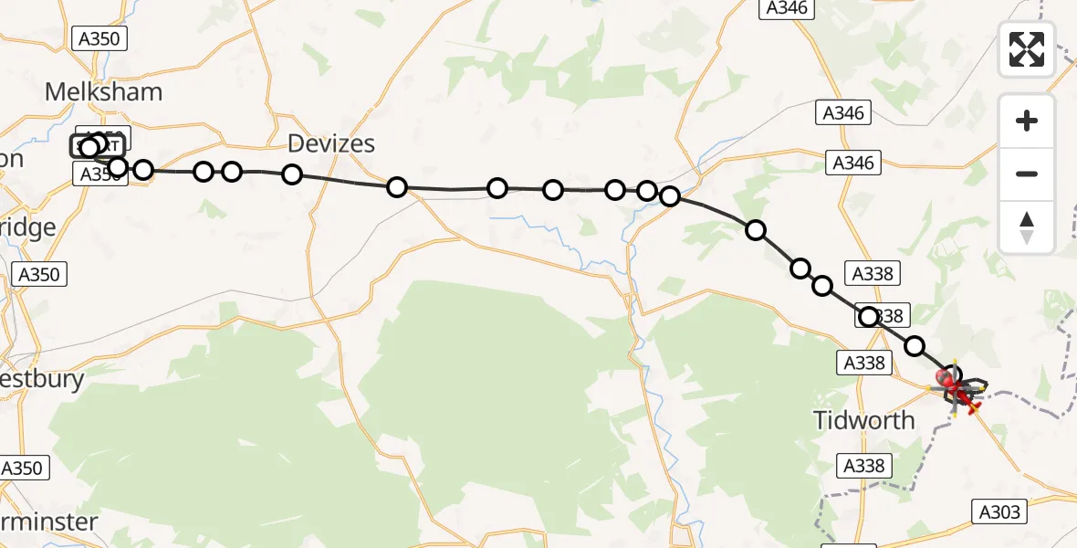
On Monday, 16 February 2026 at 12:06, a Air Ambulance Helicopter departed from Wiltshire Air Ambulance to Ludgershall. It was the Air Ambulance Helicopter with registration number G-WLTS. The flight lasted 15 minutes. During that period, the aircraft travelled 31 miles at an average speed of 126 miles per hour at a maximum altitude of 1825 feet.
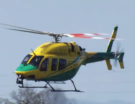
Helicopter: G-WLTS
The helicopter G-WLTS is used as a air ambulance helicopter. The main purpose of this aircraft is to transport a Mobile Medical Team to an incident as quickly as possible, enabling the trauma doctor to provide immediate first aid on site. The aircraft is flying this flight as Air Ambulance Helicopter.
Photo: James
31 miles
1825 feet
126 mph
15 minutes
12:06
12:20

Route
Wood Park, 12:20
Ludgershall12:15
Tidworth12:14
Collingbourne Ducis12:14
Collingbourne Kingston12:13
Pewsey12:13
Milton Lilbourne12:13
Pewsey12:12
Manningford Bruce12:12
Woodborough12:11
Bottlesford12:11
Patney12:10
Stert12:09
Devizes12:09
Poulshot12:08
Seend12:08
Seend Cleeve12:07
Great Hinton12:07
Semington12:07
Commerce Way, 12:06
Wiltshire Air Ambulance12:06
Today
Police Helicopter to Epping Forest, Green Lane26 Feb 23:43
Flights Ludgershall
Police Helicopter to Perham Down, Cow Lane12 Jan 11:46
Police Helicopter to Ludgershall, Ludgershall12 Jan 11:01
Helicopter flights on your website?
You can easily display helicopter flights on your own website. Use the embed code.
