Police Helicopter to Huntspill, Pawlett Road
Saturday, 14 February 2026 | 14:19 | From Almondsbury
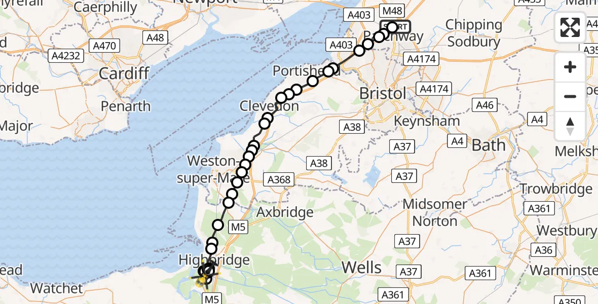
On Saturday, 14 February 2026 at 14:19, a Police Helicopter departed from Almondsbury to Huntspill. It was the Police Helicopter with registration number G-EMID. The flight lasted 26 minutes. During that period, the aircraft travelled 42 miles at an average speed of 100 miles per hour at a maximum altitude of 1025 feet.
Helicopter: G-EMID
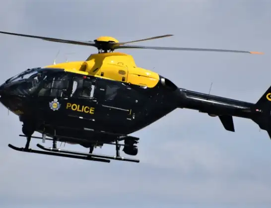
The helicopter G-EMID is used by the British police. The helicopter is deployed in pursuits, missing persons cases and other incidents where a helicopter provides added value.
Photo: Alec Wilson
43 miles
1025 feet
100 mph
26 minutes
14:19
14:45

Route
Pawlett Road, 14:45
Huntspill14:43
Highbridge14:43
Huntspill14:42
Highbridge14:42
Huntspill14:37
Highbridge14:37
Huntspill14:35
Highbridge14:34
Huntspill14:34
Pawlett14:34
Huntspill14:33
Highbridge14:32
Burnham-on-Sea14:32
Brent Knoll14:31
Lympsham14:30
Bleadon14:30
Hutton14:29
Locking Parklands14:29
West Wick, Weston-super-Mare14:29
West Wick14:28
Puxton14:28
Wick St. Lawrence14:28
Kingston Seymour14:27
Kenn14:26
Clevedon14:25
Clapton-in-Gordano14:25
North Weston14:25
Clapton-in-Gordano14:24
Portbury14:23
Easton in Gordano14:23
Bristol, West of England14:22
Hallen, West of England14:21
Catbrain, West of England14:21
Easter Compton, West of England14:20
Patchway, West of England14:20
Gloucester Road, West of England14:19
Today
Flights Huntspill
Police Helicopter to Huntspill, Pawlett Road14 Feb 14:19
Flights Almondsbury
Police Helicopter to MOD St Athan10 Jul 15:42
Police Helicopter to Bristol, Stoke Lane9 Jul 20:52
Police Helicopter to Skewen, Cardonnel Road9 Jul 14:00
Police Helicopter to Kewstoke, Beach Road8 Jul 20:40
Police Helicopter to Tredegar, Maerdy View8 Jul 15:21
Helicopter flights on your website?
You can easily display helicopter flights on your own website. Use the embed code.
