Air Ambulance Helicopter to Henstridge Airfield, Henstridge Airfield
Friday, 13 February 2026 | 13:14 | From Poole
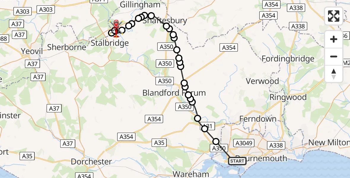
On Friday, 13 February 2026 at 13:14, a Air Ambulance Helicopter departed from Poole to Henstridge Airfield. It was the Air Ambulance Helicopter with registration number G-DSAA. The flight lasted 27 minutes. During that period, the aircraft travelled 34 miles at an average speed of 75 miles per hour at a maximum altitude of 2150 feet.
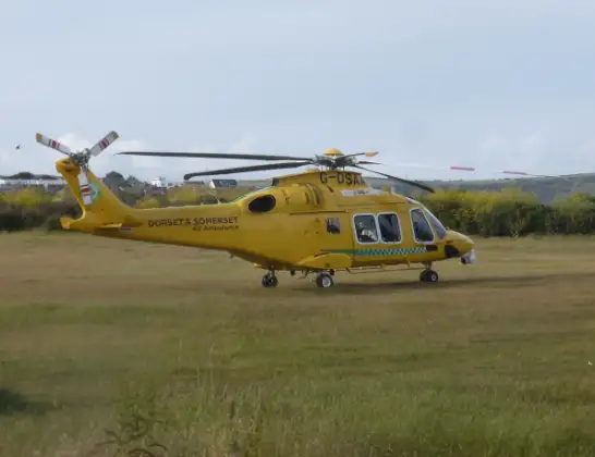
Helicopter: G-DSAA
The helicopter G-DSAA is used as a air ambulance helicopter. The main purpose of this aircraft is to transport a Mobile Medical Team to an incident as quickly as possible, enabling the trauma doctor to provide immediate first aid on site. The aircraft is flying this flight as Air Ambulance Helicopter.
Photo: Andrew Bone
34 miles
2150 feet
75 mph
28 minutes
13:14
13:41

Route
Henstridge Airfield, Templecombe, Somerset13:41
Henstridge Airfield, Templecombe, Somerset13:41
Henstridge Airfield, Templecombe, Somerset13:40
Henstridge Airfield, Templecombe, Somerset13:39
Henstridge13:39
Stalbridge13:38
Fifehead Magdalen13:37
West Stour13:37
East Stour13:36
Gillingham13:36
East Stour13:36
Gillingham13:35
Shaftesbury13:34
Cann Common13:34
Melbury Abbas13:33
Compton Abbas13:33
Fontmell Magna13:32
Iwerne Minster13:32
Iwerne Stepleton13:32
Tarrant Gunville13:31
Pimperne13:30
Blandford Camp13:30
Blandford Forum13:30
Tarrant Rushton13:29
Blandford Forum13:29
Shapwick13:28
Sturminster Marshall13:27
Corfe Mullen13:26
Whitecliff Road, 13:23
Whitecliff Road, 13:15
Poole13:14
Today
Police Helicopter to Epping Forest, Green Lane26 Feb 23:43
Flights Poole
Air Ambulance Helicopter to Poole, Roberts Lane13 Feb 11:44
Police Helicopter to Poole, Falconer Drive21 Jan 18:46
Police Helicopter to Poole, Keysworth Road21 Jan 18:09
Helicopter flights on your website?
You can easily display helicopter flights on your own website. Use the embed code.
