Air Ambulance Helicopter to Hankerton, Hankerton Road
Wednesday, 11 February 2026 | 17:58 | From Bentham
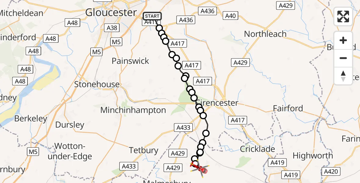
On Wednesday, 11 February 2026 at 17:58, a Air Ambulance Helicopter departed from Bentham to Hankerton. It was the Air Ambulance Helicopter with registration number G-SCAA. The flight lasted 9 minutes. During that period, the aircraft travelled 21 miles at an average speed of 141 miles per hour at a maximum altitude of 3025 feet.
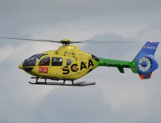
Helicopter: G-SCAA
The helicopter G-SCAA is used as a air ambulance helicopter. The main purpose of this aircraft is to transport a Mobile Medical Team to an incident as quickly as possible, enabling the trauma doctor to provide immediate first aid on site. The aircraft is flying this flight as Air Ambulance Helicopter.
Photo: Jonathan Payne
22 miles
3025 feet
141 mph
10 minutes
17:58
18:07

Route
Hankerton Road, 18:07
Hankerton18:06
Oaksey18:06
Upper Minety18:06
Oaksey Park Airfield, Malmesbury, Wiltshire18:06
Oaksey18:05
Cotswold18:05
Poole Keynes, Cotswold18:05
Kemble, Cotswold18:04
Cotswold18:03
Coates, Cirencester18:03
Cirencester, Cotswold18:03
Daglingworth, Cirencester18:02
Daglingworth, Cotswold18:02
Duntisbourne Rouse, Cotswold18:01
Duntisbourne Leer, Cotswold18:01
Winstone, Cotswold18:01
Syde, Cotswold18:00
Brimpsfield, Cheltenham18:00
Brimpsfield, Cotswold17:59
Birdlip, Cotswold17:59
Great Witcombe, Tewkesbury17:59
Birdlip, Gloucester17:59
Sandy Pluck Lane, Tewkesbury17:58
Live flights
Today
Flights Hankerton
Flights Bentham
Helicopter flights on your website?
You can easily display helicopter flights on your own website. Use the embed code.
