Air Ambulance Helicopter to Bridgend, Crack Hill
Wednesday, 11 February 2026 | 15:06 | From Nantyffyllon
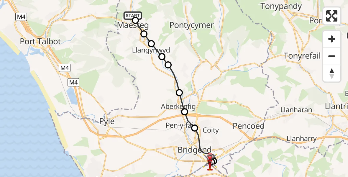
On Wednesday, 11 February 2026 at 15:06, a Air Ambulance Helicopter departed from Nantyffyllon to Bridgend. It was the Air Ambulance Helicopter with registration number G-WROL. The flight lasted 7 minutes. During that period, the aircraft travelled 10 miles at an average speed of 90 miles per hour at a maximum altitude of 2200 feet.
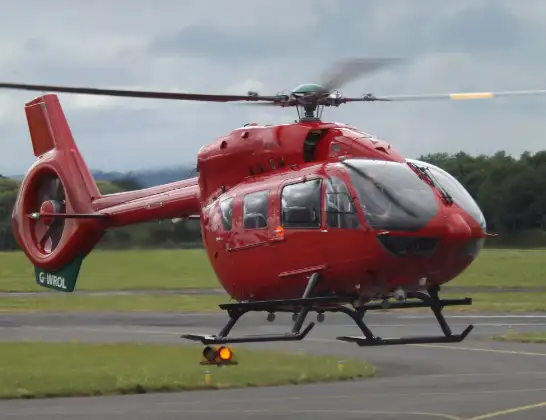
Helicopter: G-WROL
The helicopter G-WROL is used as a air ambulance helicopter. The main purpose of this aircraft is to transport a Mobile Medical Team to an incident as quickly as possible, enabling the trauma doctor to provide immediate first aid on site. The aircraft is flying this flight as Air Ambulance Helicopter.
Photo: James from Cheltenham, Gloucestershire
11 miles
2200 feet
90 mph
7 minutes
15:06
15:13

Route
Crack Hill, 15:13
Bridgend15:12
Coychurch15:12
Bridgend15:10
Sarn15:09
Tondu15:09
Coytrahen15:08
Llangynwyd15:08
Cwmfelin15:07
Garth15:07
Maesteg15:06
North's Navigation Railway, 15:06
Live flights
Today
Flights Bridgend
Air Ambulance Helicopter to Dafen, Heol Aur31 May 18:09
Police Helicopter to Bridgend, Somerset View28 May 12:05
Police Helicopter to Bridgend17 May 16:38
Air Ambulance Helicopter to Cardiff Heliport19 Apr 19:43
Air Ambulance Helicopter to Dafen, Heol Aur19 Apr 19:42
Flights Nantyffyllon
Air Ambulance Helicopter to Bridgend, Crack Hill11 Feb 15:06
Helicopter flights on your website?
You can easily display helicopter flights on your own website. Use the embed code.
