Air Ambulance Helicopter to Almondsbury Helicopter Base
Saturday, 7 February 2026 | 13:26 | From Hutton
On Saturday, 7 February 2026 at 13:26, a Air Ambulance Helicopter departed from Hutton to Almondsbury Helicopter Base. It was the Air Ambulance Helicopter with registration number G-GWAC. The flight lasted 12 minutes. During that period, the aircraft travelled 26 miles at an average speed of 136 miles per hour at a maximum altitude of 1675 feet.
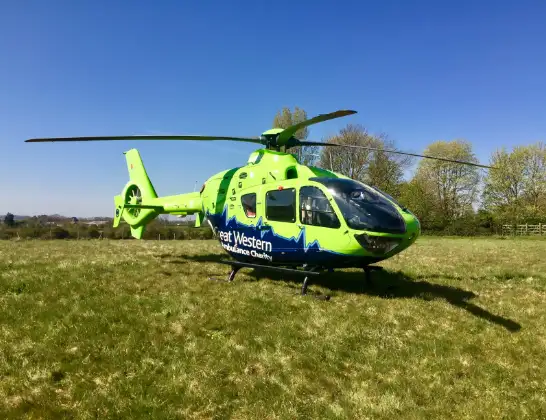
Helicopter: G-GWAC
The helicopter G-GWAC is used as a air ambulance helicopter. The main purpose of this aircraft is to transport a Mobile Medical Team to an incident as quickly as possible, enabling the trauma doctor to provide immediate first aid on site. The aircraft is flying this flight as Air Ambulance Helicopter.
Photo: Mojo0306
27 miles
1675 feet
136 mph
12 minutes
13:26
13:38

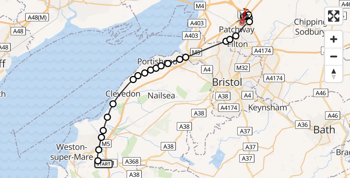
Route
Almondsbury Helicopter Base, Bristol, Somerset13:38
Almondsbury Helicopter Base, Bristol, Somerset13:37
M4, West of England13:37
Hortham, West of England13:37
Bradley Stoke, West of England13:36
Bristol, West of England13:35
Bristol Filton Airport, Bristol, Somerset13:35
Catbrain, West of England13:34
Bristol, West of England13:33
Easton in Gordano13:32
Portbury13:32
North Weston, Portishead13:32
North Weston, Bristol13:31
North Weston, Portishead13:31
Weston in Gordano13:31
Bristol13:31
Walton-in-Gordano13:30
Clevedon13:29
Kingston Seymour13:29
Icelton13:28
Worle, Weston-super-Mare13:28
West Wick, Weston-super-Mare13:27
Locking Parklands13:27
Banwell Road, 13:27
Hutton13:26
Live flights
Police Helicopter on its way from MOD St Athan15 Jul 23:53
Police Helicopter on its way from Wrenthorpe15 Jul 23:36
Today
Police Helicopter to Glasgow, Renfrew Road15 Jul 23:45
Police Helicopter to Manchester Barton Aerodrome15 Jul 23:33
Police Helicopter to Renfrewshire15 Jul 23:32
Air Ambulance Helicopter to Southampton Airport15 Jul 23:30
Police Helicopter to Coopersale, Epping Road15 Jul 23:07
Flights Hutton
Police Helicopter to Hutton, Saunders Lane17 May 14:32
Air Ambulance Helicopter to Hutton, Lower Road27 Mar 19:35
Air Ambulance Helicopter to Hutton, Lower Road27 Mar 19:19
Helicopter flights on your website?
You can easily display helicopter flights on your own website. Use the embed code.
