Air Ambulance Helicopter to Hutton, Banwell Road
Saturday, 7 February 2026 | 11:56 | From Almondsbury Helicopter Base
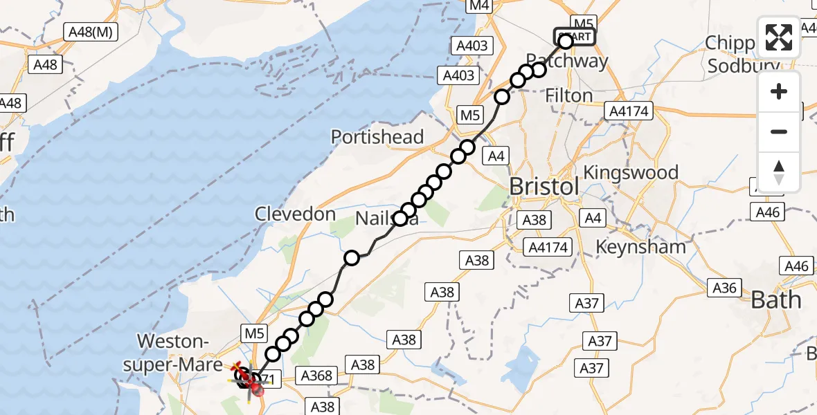
On Saturday, 7 February 2026 at 11:56, a Air Ambulance Helicopter departed from Almondsbury Helicopter Base to Hutton. It was the Air Ambulance Helicopter with registration number G-GWAC. The flight lasted 11 minutes. During that period, the aircraft travelled 23 miles at an average speed of 121 miles per hour at a maximum altitude of 1825 feet.
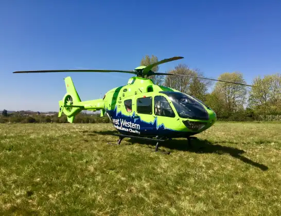
Helicopter: G-GWAC
The helicopter G-GWAC is used as a air ambulance helicopter. The main purpose of this aircraft is to transport a Mobile Medical Team to an incident as quickly as possible, enabling the trauma doctor to provide immediate first aid on site. The aircraft is flying this flight as Air Ambulance Helicopter.
Photo: Mojo0306
23 miles
1825 feet
121 mph
12 minutes
11:56
12:07

Route
Banwell Road, 12:07
Banwell Road, 12:07
Locking Parklands12:06
Hutton12:06
Banwell12:06
Woolvershill Batch12:05
Woolvershill Batch, Bristol12:05
Banwell12:05
Hewish12:04
Congresbury12:04
Yatton12:04
Claverham12:03
Nailsea12:01
Wraxall12:01
Bristol12:01
Wraxall12:01
Portbury12:00
Wraxall and Failand12:00
Easton in Gordano12:00
Bristol11:59
Bristol, West of England11:58
Catbrain, West of England11:58
Bristol, West of England11:57
Catbrain, West of England11:57
Patchway, West of England11:56
Almondsbury Helicopter Base, Bristol, Somerset11:56
Live flights
Today
Flights Hutton
Helicopter flights on your website?
You can easily display helicopter flights on your own website. Use the embed code.
