Police Helicopter to Woodlands, M4
Saturday, 7 February 2026 | 0:00 | From Coaley
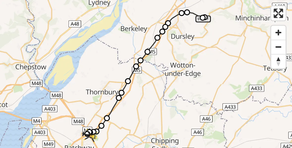
On Saturday, 7 February 2026 at 0:00, a Police Helicopter departed from Coaley to Woodlands. It was the Police Helicopter with registration number G-EMID. The flight lasted 10 minutes. During that period, the aircraft travelled 18 miles at an average speed of 104 miles per hour at a maximum altitude of 2150 feet.
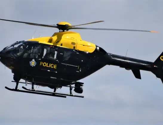
Helicopter: G-EMID
The helicopter G-EMID is used by the British police. The helicopter is deployed in pursuits, missing persons cases and other incidents where a helicopter provides added value.
Photo: Alec Wilson
18 miles
2150 feet
104 mph
11 minutes
00:00
00:10

Route
M4, West of England00:10
Almondsbury Helicopter Base, Bristol, Somerset00:10
Bristol, West of England00:09
Hortham, West of England00:09
Woodlands, West of England00:09
Bradley Stoke, West of England00:09
Hortham, West of England00:08
Rudgeway, West of England00:08
Tytherington, West of England00:07
Milbury Heath, Thornbury00:07
Milbury Heath, West of England00:06
Falfield, West of England00:05
Cromhall, West of England00:05
Woodford, Stroud00:05
Stroud00:04
Stinchcombe, Stroud00:04
Stinchcombe, Dursley00:03
Stinchcombe, Stroud00:03
Cam, Stroud00:02
Stroud00:02
Coaley, Stroud00:01
Nympsfield, Stroud00:00
Ham Lane, Stroud00:00
Today
Police Helicopter to Epping Forest, Green Lane26 Feb 23:43
Flights Woodlands
Police Helicopter to Coleford, Mr. Rooty17 Feb 17:48
Police Helicopter to Woodlands, M47 Feb 00:00
Police Helicopter to Bredon, Fleet Lane25 Jan 21:54
Police Helicopter to Patchway, Clermont Close25 Jan 20:35
Police Helicopter to Patchway, Park Avenue25 Jan 16:15
Flights Coaley
Police Helicopter to Woodlands, M47 Feb 00:00
Police Helicopter to Coaley, Ham Lane6 Feb 23:02
Helicopter flights on your website?
You can easily display helicopter flights on your own website. Use the embed code.
