Air Ambulance Helicopter to Mitchel Troy
Sunday, 25 January 2026 | 12:23 | From Woodlands
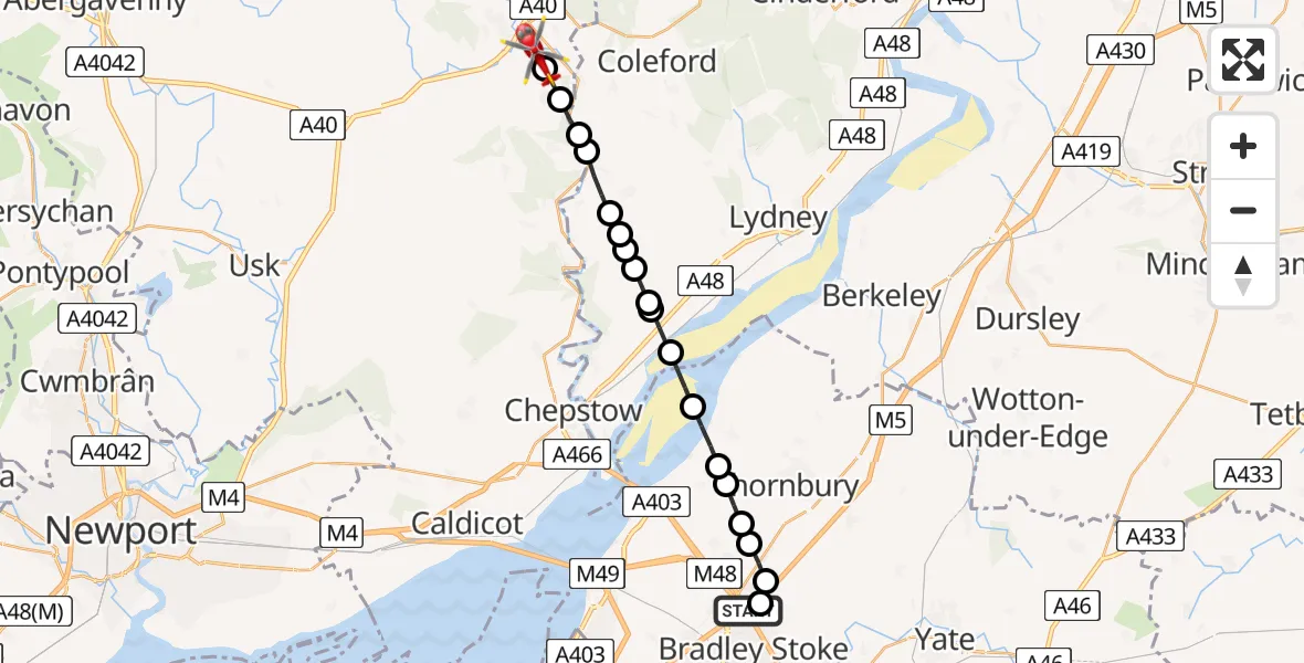
On Sunday, 25 January 2026 at 12:23, a Air Ambulance Helicopter departed from Woodlands to Mitchel Troy. It was the Air Ambulance Helicopter with registration number G-GWAC. The flight lasted 8 minutes. During that period, the aircraft travelled 19 miles at an average speed of 146 miles per hour at a maximum altitude of 2100 feet.
Helicopter: G-GWAC
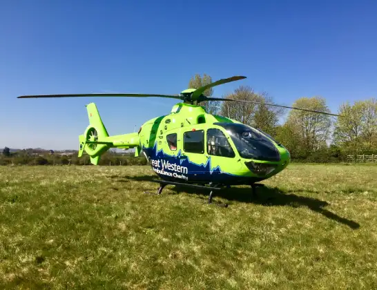
The helicopter G-GWAC is used as a air ambulance helicopter. The main purpose of this aircraft is to transport a Mobile Medical Team to an incident as quickly as possible, enabling the trauma doctor to provide immediate first aid on site. The aircraft is flying this flight as Air Ambulance Helicopter.
Photo: Mojo0306
19 miles
2100 feet
146 mph
8 minutes
12:23
12:31

Route
Mitchel Troy, 12:31
Monmouth12:31
Penallt, Monmouth12:30
Redbrook, Forest of Dean12:30
Whitebrook12:29
St. Briavels, Forest of Dean12:29
Hewelsfield, Forest of Dean12:28
Brockweir, Forest of Dean12:28
Hewelsfield, Forest of Dean12:28
Tidenham Chase, Forest of Dean12:28
Chepstow12:27
Forest of Dean12:27
Oldbury-upon-Severn, West of England12:26
Oldbury on Severn, West of England12:25
Littleton-upon-Severn, West of England12:25
Elberton, West of England12:25
Old Down, West of England12:24
Rudgeway, West of England12:24
Hortham Lane, West of England12:24
Hortham Lane, West of England12:23
M4, West of England12:23
Live flights
Today
Flights Woodlands
Police Helicopter to Almondsbury Helicopter Base11 Jul 18:10
Police Helicopter to Bristol, Oaktree Crescent10 Jul 12:36
Police Helicopter to Hortham, M59 Jul 22:22
Air Ambulance Helicopter to Woodlands, M430 Jun 16:59
Police Helicopter to Woodlands, Gloucester Road29 Jun 17:46
Police Helicopter to Woodlands, Trench Lane27 Jun 01:24
Helicopter flights on your website?
You can easily display helicopter flights on your own website. Use the embed code.
