Air Ambulance Helicopter to Caister-on-Sea, Yarmouth Road
Thursday, 5 February 2026 | 15:12 | From Norwich Airport
On Thursday, 5 February 2026 at 15:12, a Air Ambulance Helicopter departed from Norwich Airport to Caister-on-Sea. It was the Air Ambulance Helicopter with registration number G-HEMC. The flight lasted 18 minutes. During that period, the aircraft travelled 21 miles at an average speed of 71 miles per hour at a maximum altitude of 1275 feet.
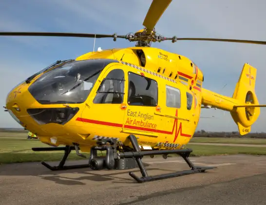
Helicopter: G-HEMC
The helicopter G-HEMC is used as a air ambulance helicopter. The main purpose of this aircraft is to transport a Mobile Medical Team to an incident as quickly as possible, enabling the trauma doctor to provide immediate first aid on site. The aircraft is flying this flight as Air Ambulance Helicopter.
Photo: Jsmauger
22 miles
1275 feet
71 mph
19 minutes
15:12
15:30

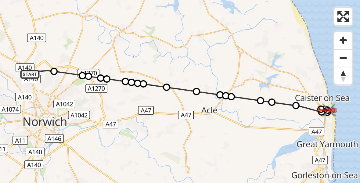
Route
Yarmouth Road, 15:30
Caister-on-Sea15:30
Great Yarmouth15:29
Caister-on-Sea15:28
Great Yarmouth - North Denes Airport, Great Yarmouth, Norfolk15:27
Great Yarmouth15:26
Mautby, Great Yarmouth15:25
Thrigby, Great Yarmouth15:24
Stokesby with Herringby, Great Yarmouth15:23
Fleggburgh, Great Yarmouth15:23
Acle, Broadland15:23
Upton, Broadland15:22
South Walsham, Broadland15:20
Panxworth, Broadland15:19
Woodbastwick, Broadland15:19
Blofield, Broadland15:19
Little Plumstead, Broadland15:19
Salhouse, Broadland15:18
New Rackheath, Broadland15:18
Rackheath, Broadland15:17
Beeston St Andrew, Norwich15:17
Beeston St Andrew, Broadland15:16
Norwich Airport, Norwich, Norfolk15:13
Norwich Airport, Norwich, Norfolk15:12
Live flights
Today
Flights Caister-on-Sea
Coastguard Helicopter to Humberside Airport30 Jun 19:33
Air Ambulance Helicopter to James Paget Hospital20 Feb 13:29
Air Ambulance Helicopter to Norwich Airport5 Feb 16:21
Helicopter flights on your website?
You can easily display helicopter flights on your own website. Use the embed code.
