Air Ambulance Helicopter to Swindon, Scarborough Road
Wednesday, 4 February 2026 | 13:10 | From Durrington
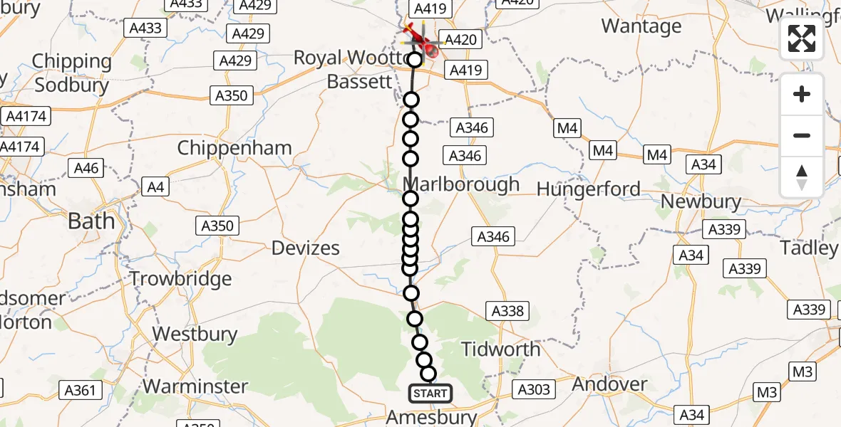
On Wednesday, 4 February 2026 at 13:10, a Air Ambulance Helicopter departed from Durrington to Swindon. It was the Air Ambulance Helicopter with registration number G-WLTS. The flight lasted 16 minutes. During that period, the aircraft travelled 29 miles at an average speed of 109 miles per hour at a maximum altitude of 2125 feet.
Helicopter: G-WLTS
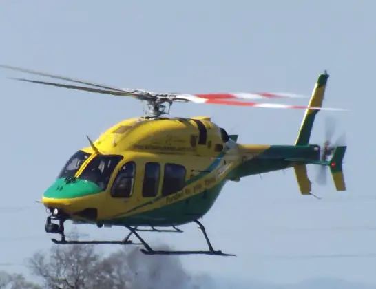
The helicopter G-WLTS is used as a air ambulance helicopter. The main purpose of this aircraft is to transport a Mobile Medical Team to an incident as quickly as possible, enabling the trauma doctor to provide immediate first aid on site. The aircraft is flying this flight as Air Ambulance Helicopter.
Photo: James
30 miles
2125 feet
109 mph
17 minutes
13:10
13:26

Route
Scarborough Road, 13:26
Swindon13:22
Wroughton13:21
Broad Hinton13:20
Winterbourne Bassett13:20
Fyfield13:19
West Overton13:18
East Kennett13:18
Alton13:18
Alton Priors13:17
Wilcot, Huish and Oare13:17
Woodborough13:17
Bottlesford13:17
Rushall13:16
Upavon13:15
Enford13:15
Netheravon13:14
Figheldean13:14
Netheravon Road, 13:13
Durrington13:10
Live flights
Police Helicopter on its way from Ewelme13 Jul 22:24
Today
Police Helicopter to Manchester Barton Aerodrome13 Jul 23:56
Police Helicopter to Bournemouth Airport13 Jul 23:55
Air Ambulance Helicopter to Cardiff Heliport13 Jul 23:38
Police Helicopter to Birmingham Airport13 Jul 23:21
Police Helicopter to Irlam, Twelve Yards Road13 Jul 23:00
Flights Swindon
Air Ambulance Helicopter to Swindon, Canal Walk20 Jun 19:03
Flights Durrington
Helicopter flights on your website?
You can easily display helicopter flights on your own website. Use the embed code.
