Air Ambulance Helicopter to Abergele, High Street
Sunday, 1 February 2026 | 13:37 | From Caernarfon Airport
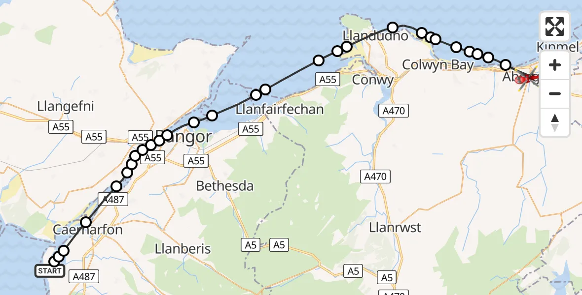
On Sunday, 1 February 2026 at 13:37, a Air Ambulance Helicopter departed from Caernarfon Airport to Abergele. It was the Air Ambulance Helicopter with registration number G-LOYW. The flight lasted 19 minutes. During that period, the aircraft travelled 39 miles at an average speed of 124 miles per hour at a maximum altitude of 1100 feet.
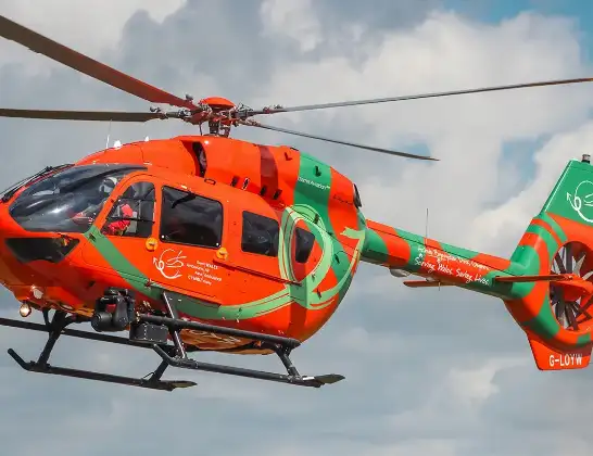
Helicopter: G-LOYW
The helicopter G-LOYW is used as a air ambulance helicopter. The main purpose of this aircraft is to transport a Mobile Medical Team to an incident as quickly as possible, enabling the trauma doctor to provide immediate first aid on site. The aircraft is flying this flight as Air Ambulance Helicopter.
Photo: Sarahpurpleface
40 miles
1100 feet
124 mph
19 minutes
13:37
13:56

Route
High Street, 13:56
Abergele13:53
Llanddulas13:53
Llysfaen13:52
Old Colwyn13:52
Llanelian yn Rhos13:52
Colwyn Bay13:51
Mochdre13:51
Colwyn Bay13:51
Penrhyn-Side13:50
Llandudno13:49
Penmaenmawr13:49
Dwygyfylchi13:48
Penmaenmawr13:47
Llanfairfechan13:46
Aber13:45
Llandygai13:45
Bangor13:44
Porthaethwy / Menai Bridge13:44
Penrhos Garnedd13:43
Llanfairpwllgwyngyll13:43
Pentir13:43
Llanfairpwllgwyngyll13:43
Y Felinheli13:42
Llanddaniel Fab13:42
Caernarfon13:41
Bontnewydd13:40
Llandwrog13:39
Llanfaglan13:39
Caernarfon Airport, Caernarfon13:38
Caernarfon Airport, Caernarfon13:37
Live flights
Today
Police Helicopter to Epping Forest, Green Lane26 Feb 23:43
Flights Abergele
Helicopter flights on your website?
You can easily display helicopter flights on your own website. Use the embed code.
