Police Helicopter to Newcastle International Airport
Saturday, 31 January 2026 | 23:29 | From Corbridge
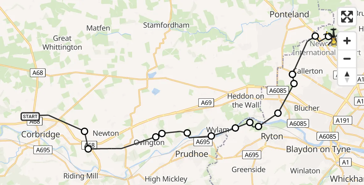
On Saturday, 31 January 2026 at 23:29, a Police Helicopter departed from Corbridge to Newcastle International Airport. It was the Police Helicopter with registration number G-POLA. The flight lasted 8 minutes. During that period, the aircraft travelled 17 miles at an average speed of 124 miles per hour at a maximum altitude of 1450 feet.
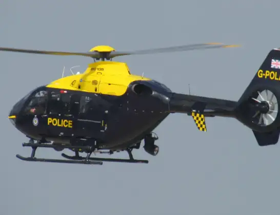
Helicopter: G-POLA
The helicopter G-POLA is used by the British police. The helicopter is deployed in pursuits, missing persons cases and other incidents where a helicopter provides added value.
Photo: ozz13x
18 miles
1450 feet
124 mph
9 minutes
23:29
23:38

Route
Newcastle International Airport, Newcastle upon Tyne, Tyne and Wear23:38
Newcastle International Airport, Newcastle upon Tyne, Tyne and Wear23:37
Callerton, Newcastle upon Tyne23:37
Newcastle upon Tyne, North East23:36
Walbottle, Newcastle upon Tyne23:36
Throckley, Newcastle upon Tyne23:35
Ryton, North East23:35
Clara Vale, Gateshead23:35
Gateshead, North East23:34
Wylam, North East23:34
Prudhoe, North East23:33
Ovingham, North East23:33
Ovington, North East23:32
Newton, North East23:31
Bywell, North East23:31
Corbridge, North East23:29
Live flights
Today
Flights Corbridge
Police Helicopter to Corbridge, A692 Jun 21:14
Police Helicopter to Bywell21 Feb 21:16
Police Helicopter to Corbridge31 Jan 23:21
Police Helicopter to Matfen, Military Road31 Jan 23:16
Helicopter flights on your website?
You can easily display helicopter flights on your own website. Use the embed code.
