Air Ambulance Helicopter to Ferryhill, Hallgarth Terrace
Friday, 30 January 2026 | 14:02 | From Eaglescliffe
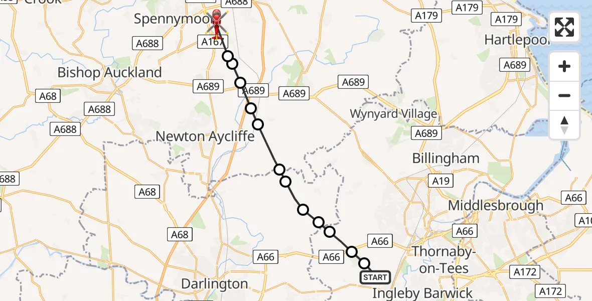
On Friday, 30 January 2026 at 14:02, a Air Ambulance Helicopter departed from Eaglescliffe to Ferryhill. It was the Air Ambulance Helicopter with registration number G-NHAE. The flight lasted 5 minutes. During that period, the aircraft travelled 14 miles at an average speed of 157 miles per hour at a maximum altitude of 1975 feet.
Helicopter: G-NHAE
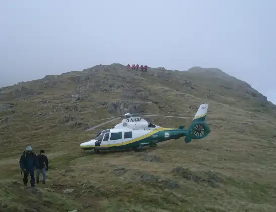
The helicopter G-NHAE is used as a air ambulance helicopter. The main purpose of this aircraft is to transport a Mobile Medical Team to an incident as quickly as possible, enabling the trauma doctor to provide immediate first aid on site. The aircraft is flying this flight as Air Ambulance Helicopter.
Photo: Michael Earnshaw
14 miles
1975 feet
157 mph
6 minutes
14:02
14:08

Route
Hallgarth Terrace, North East14:08
Ferryhill, North East14:07
Chilton Lane, North East14:07
Rushyford, North East14:06
Bradbury, North East14:06
Mordon, North East14:06
Elstob, North East14:05
Great Stainton, Tees Valley14:05
Little Stainton, Tees Valley14:04
East and West Newbiggin, Tees Valley14:04
Longnewton, Tees Valley14:04
Elton, Tees Valley14:03
Longnewton, Tees Valley14:03
Grangetown Road, Tees Valley14:02
Live flights
Police Helicopter on its way from Ewelme13 Jul 22:24
Today
Police Helicopter to Manchester Barton Aerodrome13 Jul 23:56
Police Helicopter to Bournemouth Airport13 Jul 23:55
Air Ambulance Helicopter to Cardiff Heliport13 Jul 23:38
Police Helicopter to Birmingham Airport13 Jul 23:21
Police Helicopter to Irlam, Twelve Yards Road13 Jul 23:00
Flights Ferryhill
Flights Eaglescliffe
Air Ambulance Helicopter to Egglescliffe, A6729 Jan 10:23
Air Ambulance Helicopter to Eaglescliffe10 Jan 13:59
Helicopter flights on your website?
You can easily display helicopter flights on your own website. Use the embed code.
