Air Ambulance Helicopter to Inverness, Sir Walter Scott Drive
Thursday, 29 January 2026 | 17:57 | From Mulbuie
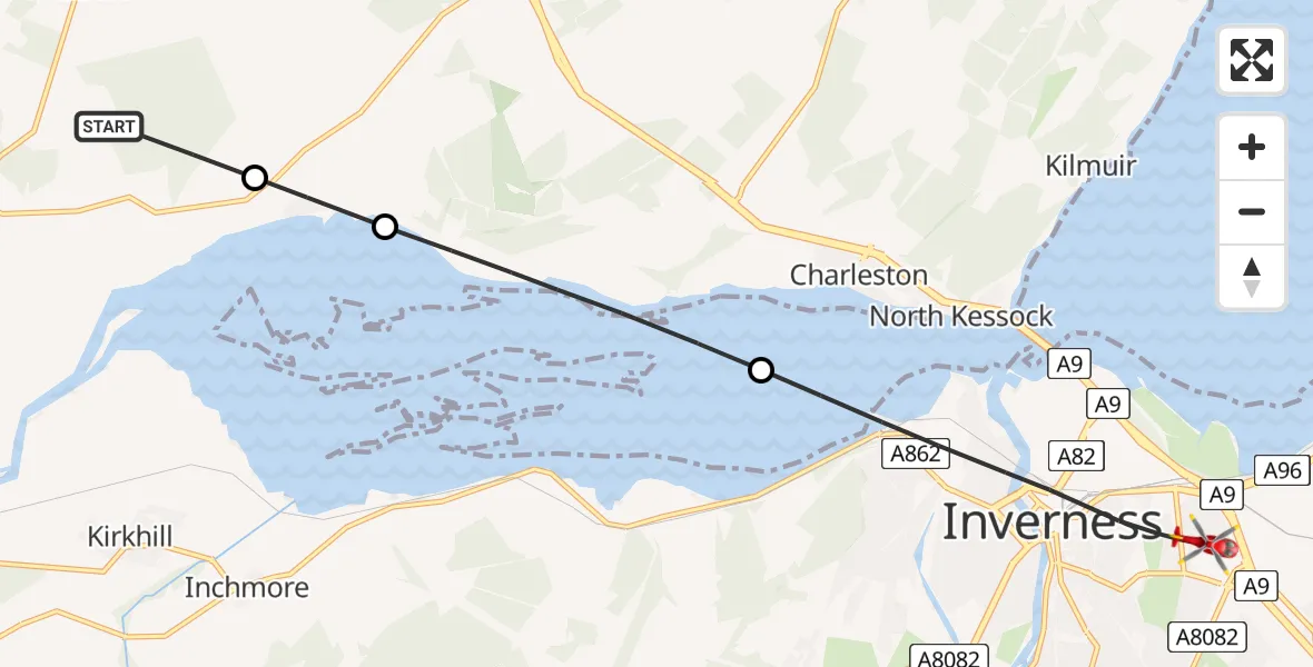
On Thursday, 29 January 2026 at 17:57, a Air Ambulance Helicopter departed from Mulbuie to Inverness. It was the Air Ambulance Helicopter with registration number G-GSAS. The flight lasted 5 minutes. During that period, the aircraft travelled 9 miles at an average speed of 102 miles per hour at a maximum altitude of 2175 feet.
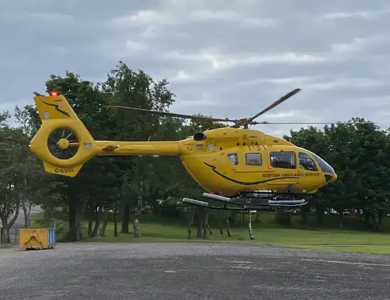
Helicopter: G-GSAS
The helicopter G-GSAS is used as a air ambulance helicopter. The main purpose of this aircraft is to transport a Mobile Medical Team to an incident as quickly as possible, enabling the trauma doctor to provide immediate first aid on site. The aircraft is flying this flight as Air Ambulance Helicopter.
Photo: Scanbus
9 miles
2175 feet
102 mph
6 minutes
17:57
18:02

Route
Sir Walter Scott Drive, 18:02
Inverness17:59
Charleston17:58
Inverness17:57
Teapot trail, 17:57
Live flights
Today
Police Helicopter to MOD St Athan15 Jul 23:53
Flights Inverness
Air Ambulance Helicopter to Dores15 Jul 16:33
Air Ambulance Helicopter to Inverness15 Jul 12:10
Air Ambulance Helicopter to Inner Seas15 Jul 11:15
Air Ambulance Helicopter to Inverness, A9614 Jul 16:38
Flights Mulbuie
Coastguard Helicopter to Mulbuie, Drynie Park25 Jan 17:39
Helicopter flights on your website?
You can easily display helicopter flights on your own website. Use the embed code.
