Air Ambulance Helicopter to Coventry Airport
Thursday, 29 January 2026 | 15:37 | From Irchester
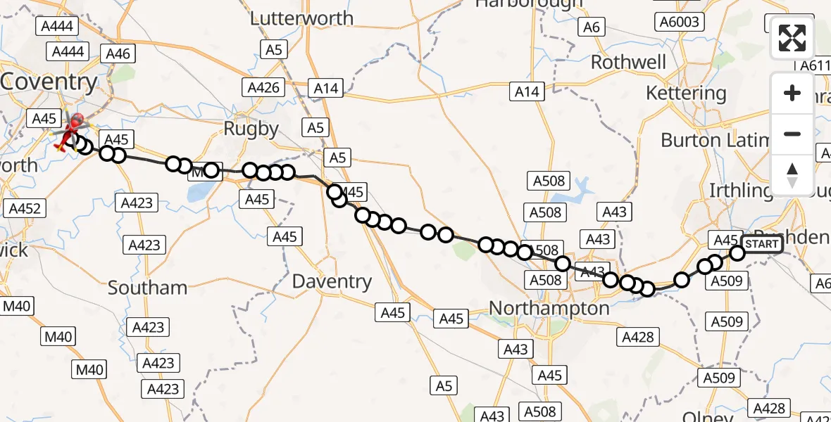
On Thursday, 29 January 2026 at 15:37, a Air Ambulance Helicopter departed from Irchester to Coventry Airport. It was the Air Ambulance Helicopter with registration number G-WNAS. The flight lasted 15 minutes. During that period, the aircraft travelled 39 miles at an average speed of 159 miles per hour at a maximum altitude of 2800 feet.
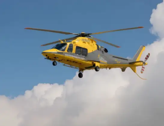
Helicopter: G-WNAS
The helicopter G-WNAS is used as an ambulance helicopter. The helicopter is equipped with a stretcher for transporting patients. The helicopter is often used to transport to hospitals.
Photo: Tony Melony
40 miles
2800 feet
159 mph
15 minutes
15:37
15:52

Route
Coventry Airport, Coventry, West Midlands15:52
Coventry Airport, Coventry, West Midlands15:51
Baginton, Warwick15:51
Rugby15:50
Ryton-on-Dunsmore, Rugby15:50
Rugby15:50
Stretton on Dunsmore CP, Rugby15:49
Rugby15:48
Thurlaston CP, Rugby15:48
Dunchurch, Rugby15:47
Onley15:47
Barby15:47
Crick15:46
Kilsby15:45
Ashby St Ledgers15:45
Watford15:45
Long Buckby Wharf15:44
Long Buckby15:44
Northampton15:44
Long Buckby15:43
Great Brington15:43
Althorp15:42
Upper Harlestone15:42
Church Brampton15:42
Chapel Brampton15:42
Boughton15:41
Northampton15:40
Ecton Brook15:40
Northampton15:39
Ecton15:39
Earls Barton15:38
Great Doddington15:38
Wollaston15:38
Little Irchester15:37
Station Road, 15:37
Live flights
Today
Flights Irchester
Air Ambulance Helicopter to Coventry Airport29 Jan 15:37
Helicopter flights on your website?
You can easily display helicopter flights on your own website. Use the embed code.
