Air Ambulance Helicopter to Shepperton, Durrell Way
Thursday, 29 January 2026 | 14:28 | From Runnymede
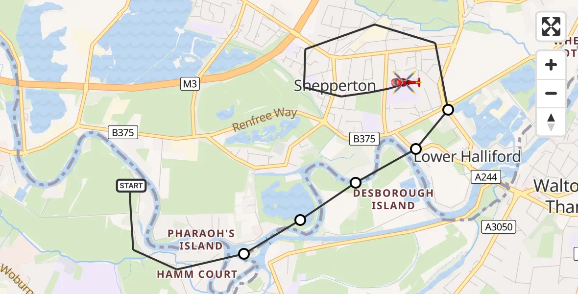
On Thursday, 29 January 2026 at 14:28, a Air Ambulance Helicopter departed from Runnymede to Shepperton. It was the Air Ambulance Helicopter with registration number G-LNAC. The flight lasted 5 minutes. During that period, the aircraft travelled 4 miles at an average speed of 46 miles per hour at a maximum altitude of 1150 feet.
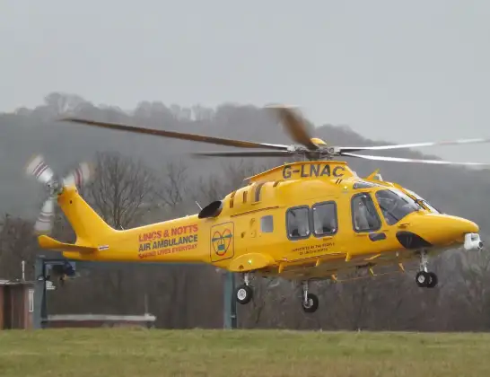
Helicopter: G-LNAC
The helicopter G-LNAC is used as a air ambulance helicopter. The main purpose of this aircraft is to transport a Mobile Medical Team to an incident as quickly as possible, enabling the trauma doctor to provide immediate first aid on site. The aircraft is flying this flight as Air Ambulance Helicopter.
Photo: James from Cheltenham, Gloucestershire
5 miles
1150 feet
46 mph
6 minutes
14:28
14:34

Route
Durrell Way, Spelthorne14:34
Shepperton, Spelthorne14:31
Lower Halliford, Spelthorne14:31
Shepperton, Spelthorne14:30
Weybridge, Elmbridge14:30
Spelthorne14:30
Dockett Eddy, 14:28
Live flights
Air Ambulance Helicopter on its way from Ashford14 Jul 23:46
Coastguard Helicopter on its way from North Sea14 Jul 23:44
Today
Police Helicopter to Johnstone, Gordon Square14 Jul 23:38
Coastguard Helicopter to North Sea14 Jul 23:30
Police Helicopter to Inner Seas14 Jul 23:12
Air Ambulance Helicopter to Norwich Airport14 Jul 22:52
Police Helicopter to Manchester Barton Aerodrome14 Jul 22:50
Police Helicopter to Sewardstonebury, Bury Road14 Jul 22:44
Air Ambulance Helicopter to Cardiff Heliport14 Jul 22:43
Flights Shepperton
Air Ambulance Helicopter to Fairoaks Airport29 Jan 15:07
Flights Runnymede
Air Ambulance Helicopter to Runnymede29 Jan 13:33
Police Helicopter to Runnymede, Guildford Road28 Jan 11:54
Helicopter flights on your website?
You can easily display helicopter flights on your own website. Use the embed code.
