Air Ambulance Helicopter to Sunningdale, Cedar Drive
Thursday, 29 January 2026 | 14:01 | From Redhill Aerodrome
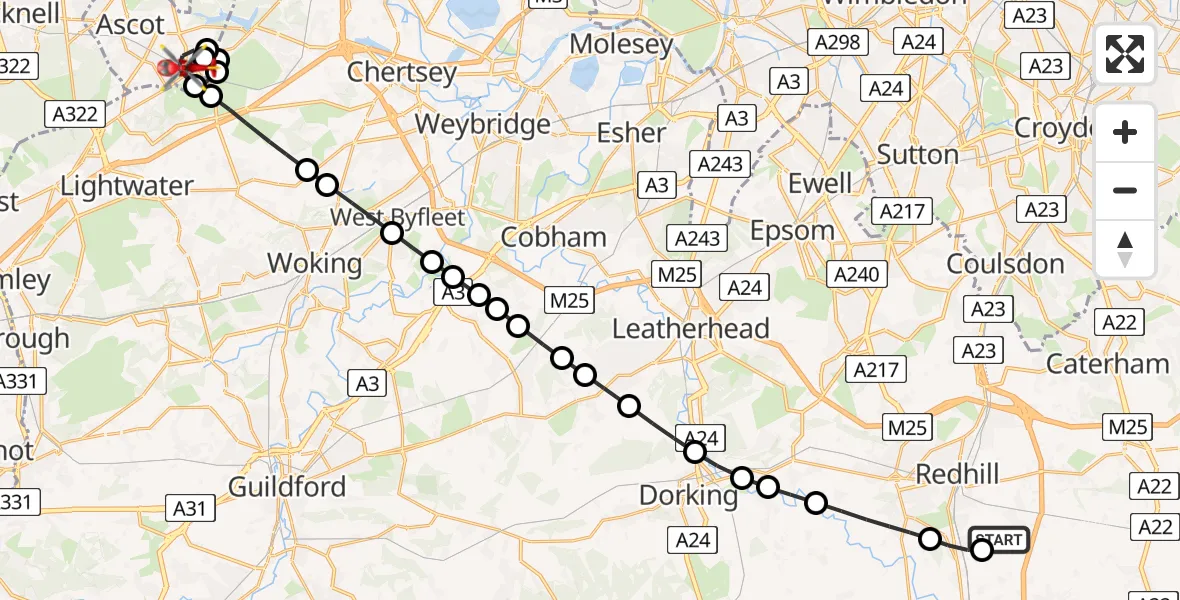
On Thursday, 29 January 2026 at 14:01, a Air Ambulance Helicopter departed from Redhill Aerodrome to Sunningdale. It was the Air Ambulance Helicopter with registration number G-KSSC. The flight lasted 15 minutes. During that period, the aircraft travelled 30 miles at an average speed of 117 miles per hour at a maximum altitude of 1800 feet.
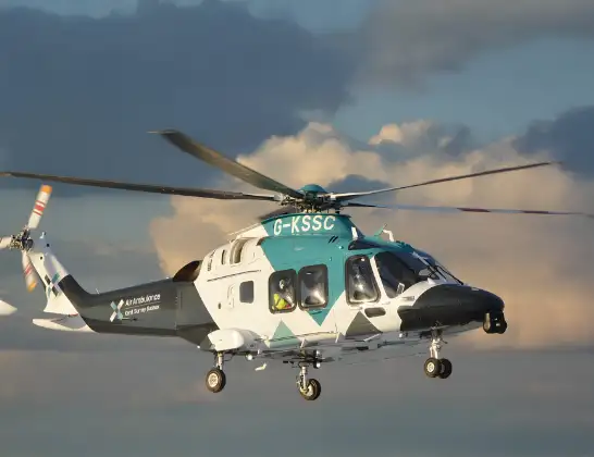
Helicopter: G-KSSC
The helicopter G-KSSC is used as a air ambulance helicopter. The main purpose of this aircraft is to transport a Mobile Medical Team to an incident as quickly as possible, enabling the trauma doctor to provide immediate first aid on site. The aircraft is flying this flight as Air Ambulance Helicopter.
Photo: Shona aakss
30 miles
1800 feet
117 mph
16 minutes
14:01
14:17

Route
Cedar Drive, 14:17
Sunningdale14:16
Ascot14:15
Sunningdale14:14
Runnymede14:14
Ascot14:13
Sunningdale14:12
Chobham14:12
Chobham, Surrey Heath14:11
Woking14:11
West Byfleet, Woking14:10
Pyrford, Woking14:09
Wisley, Guildford14:09
Wisley Airfield, Woking, Surrey14:09
Ockham, Guildford14:09
Guildford14:08
Effingham, Guildford14:08
Little Bookham, Mole Valley14:08
Great Bookham, Mole Valley14:07
Westhumble, Mole Valley14:06
Pixham, Mole Valley14:06
Brockham, Mole Valley14:06
Betchworth, Mole Valley14:05
Reigate, Reigate and Banstead14:04
Salfords, Reigate and Banstead14:03
Redhill Aerodrome, Redhill, Surrey14:03
Redhill Aerodrome, Redhill, Surrey14:01
Live flights
Today
Coastguard Drone to Dover, A203:03:07
Police Helicopter to East Ardsley, Stoney Lane13 Jun 23:37
Flights Sunningdale
Helicopter flights on your website?
You can easily display helicopter flights on your own website. Use the embed code.
