Air Ambulance Helicopter to Ganllwyd
Thursday, 29 January 2026 | 12:40 | From Ysgubor-y-coed
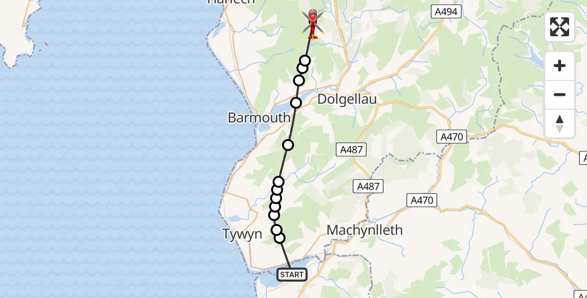
On Thursday, 29 January 2026 at 12:40, a Air Ambulance Helicopter departed from Ysgubor-y-coed to Ganllwyd. It was the Air Ambulance Helicopter with registration number G-WROL. The flight lasted 8 minutes. During that period, the aircraft travelled 20 miles at an average speed of 147 miles per hour at a maximum altitude of 2800 feet.
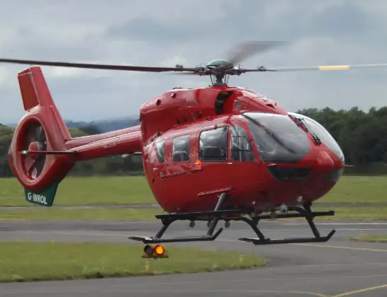
Helicopter: G-WROL
The helicopter G-WROL is used as a air ambulance helicopter. The main purpose of this aircraft is to transport a Mobile Medical Team to an incident as quickly as possible, enabling the trauma doctor to provide immediate first aid on site. The aircraft is flying this flight as Air Ambulance Helicopter.
Photo: James from Cheltenham, Gloucestershire
21 miles
2800 feet
147 mph
9 minutes
12:40
12:48

Route
Ganllwyd, 12:48
Llanelltyd12:47
Borthwnog12:46
Bontddu12:46
Caerdeon12:45
Arthog12:44
Llanfihangel-y-Pennant12:42
Bryncrug12:42
Bryn-Crug12:42
Abergynolwyn12:42
Bryn-Crug12:41
Bryncrug12:41
Bryn-Crug12:41
Ysgubor-y-coed, 12:40
Live flights
Today
Flights Ganllwyd
Air Ambulance Helicopter to Ganllwyd29 Jan 12:40
Flights Ysgubor-y-coed
Air Ambulance Helicopter to Ganllwyd29 Jan 12:40
Helicopter flights on your website?
You can easily display helicopter flights on your own website. Use the embed code.
