Police Helicopter to MOD St Athan, MOD St Athan
Thursday, 29 January 2026 | 1:06 | From Margam Moors
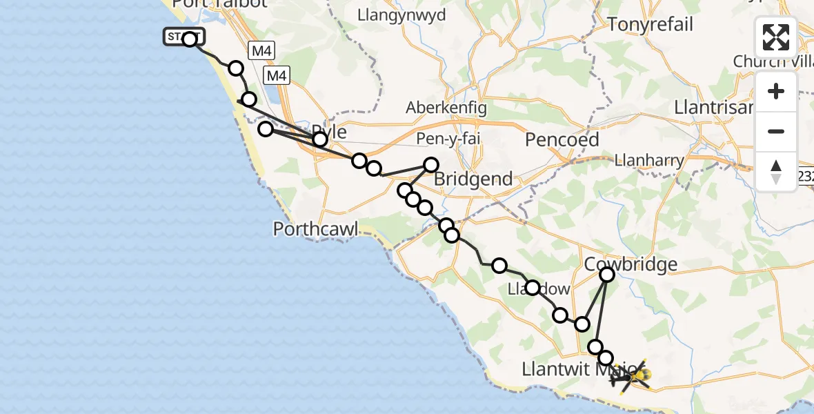
On Thursday, 29 January 2026 at 1:06, a Police Helicopter departed from Margam Moors to MOD St Athan. It was the Police Helicopter with registration number G-NWOI. The flight lasted 11 minutes. During that period, the aircraft travelled 31 miles at an average speed of 163 miles per hour at a maximum altitude of 2000 feet.
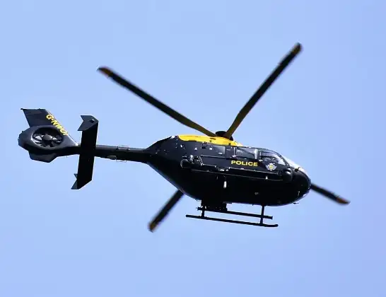
Helicopter: G-NWOI
The helicopter G-NWOI is used by the British police. The helicopter is deployed in pursuits, missing persons cases and other incidents where a helicopter provides added value.
Photo: Alec Wilson
31 miles
2000 feet
163 mph
12 minutes
01:06
01:17

Route
MOD St Athan, St Athan, Vale of Glamorgan01:17
Boverton01:17
Llantwit Major01:16
Cowbridge01:16
Sigingstone01:16
RAF Llandow, Llandow, Vale of Glamorgan01:15
Llandow01:15
St. Brides Major01:14
St Brides Major01:13
Ogmore01:13
Merthyr Mawr01:12
Laleston01:12
Merthyr Mawr01:12
Bryntirion01:11
Tythegston01:11
Pyle01:10
Cornelly01:10
North Cornelly01:10
Port Talbot01:09
Margam Moors01:07
Port Talbot01:06
Margam Moors, 01:06
Live flights
Today
Helicopter flights on your website?
You can easily display helicopter flights on your own website. Use the embed code.
