Air Ambulance Helicopter to Ipswich, Heath Road
Wednesday, 28 January 2026 | 14:14 | From Aldringham
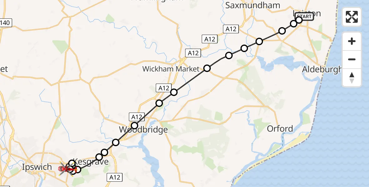
On Wednesday, 28 January 2026 at 14:14, a Air Ambulance Helicopter departed from Aldringham to Ipswich. It was the Air Ambulance Helicopter with registration number G-HEMC. The flight lasted 11 minutes. During that period, the aircraft travelled 21 miles at an average speed of 111 miles per hour at a maximum altitude of 1700 feet.
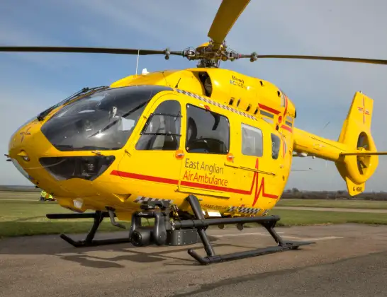
Helicopter: G-HEMC
The helicopter G-HEMC is used as a air ambulance helicopter. The main purpose of this aircraft is to transport a Mobile Medical Team to an incident as quickly as possible, enabling the trauma doctor to provide immediate first aid on site. The aircraft is flying this flight as Air Ambulance Helicopter.
Photo: Jsmauger
22 miles
1700 feet
111 mph
12 minutes
14:14
14:26

Route
Heath Road, 14:26
Ipswich14:25
Rushmere St Andrew, East Suffolk14:24
Ipswich14:23
Rushmere St Andrew, East Suffolk14:23
Kesgrave, East Suffolk14:22
Little Bealings, East Suffolk14:22
Martlesham, East Suffolk14:21
Woodbridge, East Suffolk14:21
Melton, East Suffolk14:20
Ufford, East Suffolk14:19
Campsea Ashe, East Suffolk14:18
Blaxhall, East Suffolk14:17
Farnham, East Suffolk14:17
Snape, East Suffolk14:16
Friston, East Suffolk14:15
School Road, East Suffolk14:15
Coldfair Green, Leiston14:15
Aldringham, Leiston14:14
Live flights
Police Helicopter on its way from Ewelme13 Jul 22:24
Today
Police Helicopter to Bournemouth Airport13 Jul 23:55
Air Ambulance Helicopter to Cardiff Heliport13 Jul 23:38
Police Helicopter to Birmingham Airport13 Jul 23:21
Police Helicopter to Irlam, Twelve Yards Road13 Jul 23:00
Flights Ipswich
Police Helicopter to Coopersale, Epping Road30 Apr 12:33
Coastguard Helicopter to Ipswich, Orwell Bridge24 Apr 15:47
Flights Aldringham
Air Ambulance Helicopter to Ipswich, Heath Road28 Jan 14:14
Helicopter flights on your website?
You can easily display helicopter flights on your own website. Use the embed code.
