Air Ambulance Helicopter to Watford, Cassiobury Park Avenue
Wednesday, 28 January 2026 | 14:11 | From Old Town
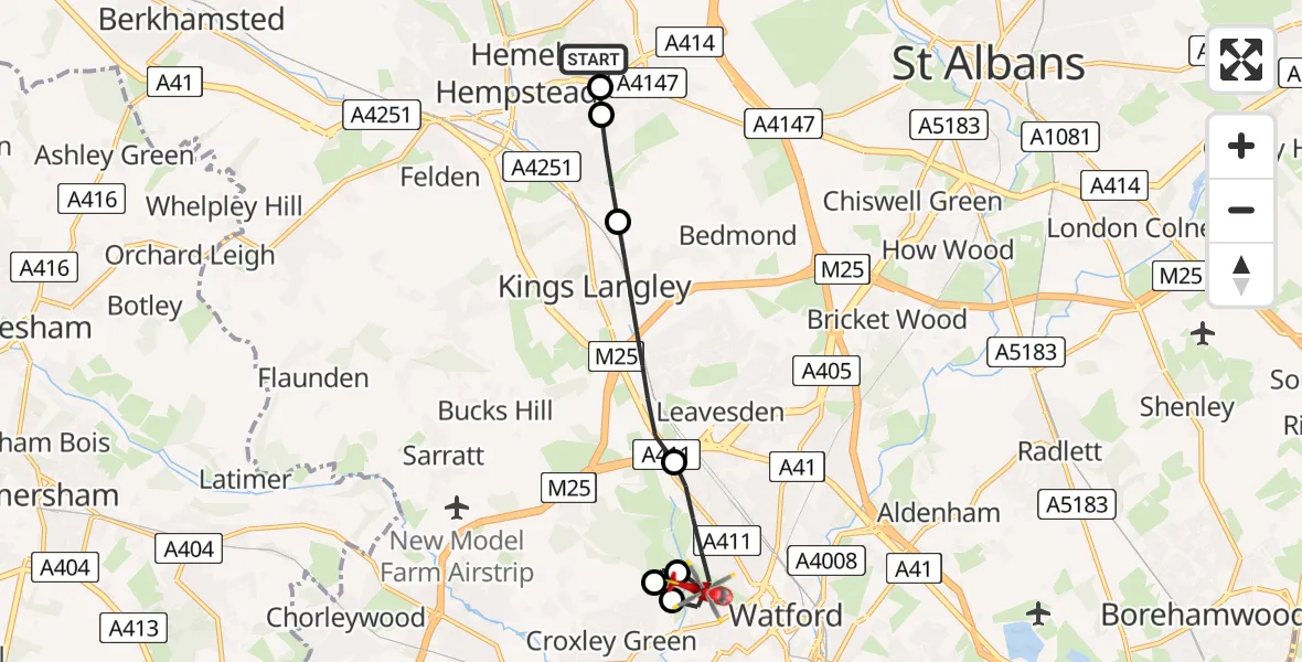
On Wednesday, 28 January 2026 at 14:11, a Air Ambulance Helicopter departed from Old Town to Watford. It was the Air Ambulance Helicopter with registration number G-EHAT. The flight lasted 7 minutes. During that period, the aircraft travelled 8 miles at an average speed of 69 miles per hour at a maximum altitude of 1625 feet.
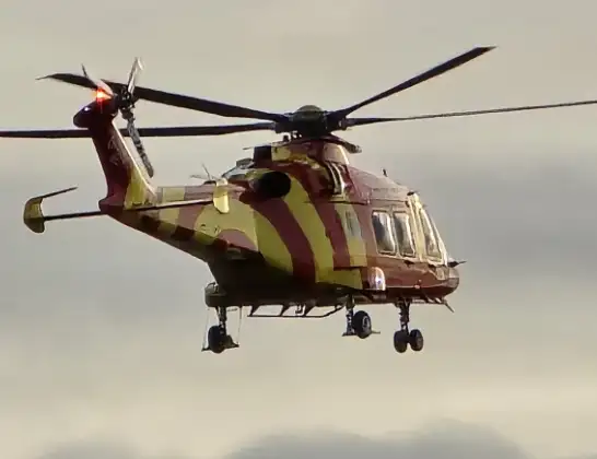
Helicopter: G-EHAT
The helicopter G-EHAT is used as a air ambulance helicopter. The main purpose of this aircraft is to transport a Mobile Medical Team to an incident as quickly as possible, enabling the trauma doctor to provide immediate first aid on site. The aircraft is flying this flight as Air Ambulance Helicopter.
Photo: By Steve Knight
9 miles
1625 feet
69 mph
8 minutes
14:11
14:19

Route
Cassiobury Park Avenue, 14:19
Watford14:17
Croxley Green, Rickmansworth14:17
Croxley Green, Watford14:17
Watford14:15
Abbots Langley, Three Rivers14:13
Rant Meadow, Dacorum14:13
Corner Hall, Dacorum14:12
Old Town, Dacorum14:11
Live flights
Today
Police Helicopter to Epping Forest, Green Lane26 Feb 23:43
Flights Watford
Air Ambulance Helicopter to Watford, Coates Way23 Feb 11:48
Helicopter flights on your website?
You can easily display helicopter flights on your own website. Use the embed code.
