Air Ambulance Helicopter to Kings College London Hospital
Wednesday, 28 January 2026 | 13:36 | From Tonbridge
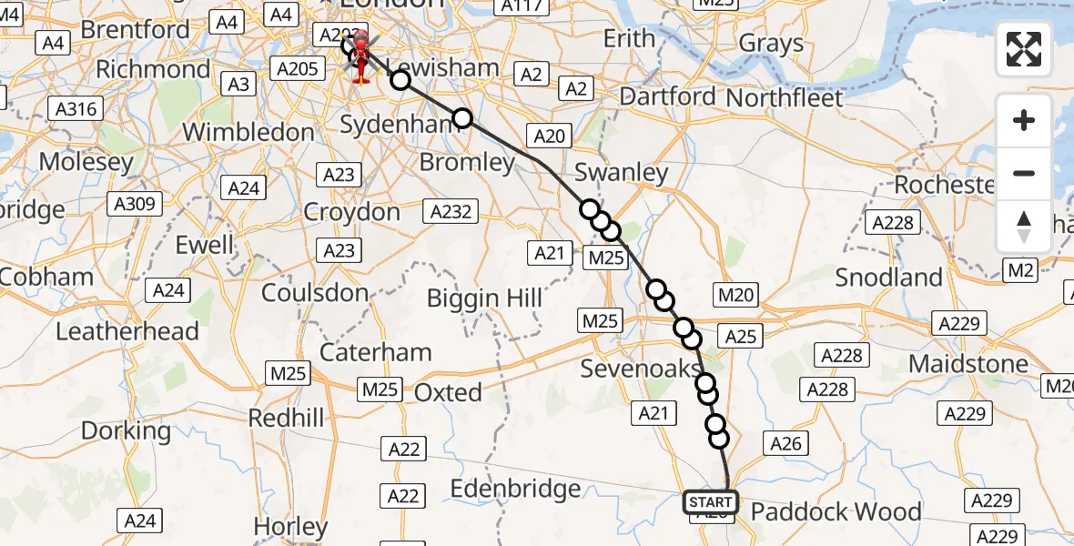
On Wednesday, 28 January 2026 at 13:36, a Air Ambulance Helicopter departed from Tonbridge to Kings College London Hospital. It was the Air Ambulance Helicopter with registration number G-LNAC. The flight lasted 16 minutes. During that period, the aircraft travelled 29 miles at an average speed of 106 miles per hour at a maximum altitude of 1950 feet.
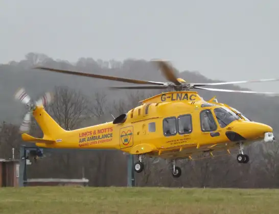
Helicopter: G-LNAC
The helicopter G-LNAC is used as a air ambulance helicopter. The main purpose of this aircraft is to transport a Mobile Medical Team to an incident as quickly as possible, enabling the trauma doctor to provide immediate first aid on site. The aircraft is flying this flight as Air Ambulance Helicopter.
Photo: James from Cheltenham, Gloucestershire
29 miles
1950 feet
106 mph
17 minutes
13:36
13:53

Route
Kings College London Hospital, London13:53
Kings College London Hospital, London13:51
Kings College London Hospital, London13:50
London Borough of Lambeth, Greater London13:49
London Borough of Southwark, Greater London13:48
London Borough of Lewisham, Greater London13:47
London Borough of Bromley, Greater London13:44
Well Hill, Sevenoaks13:44
Great Cockerhurst, Sevenoaks13:43
Shoreham, Sevenoaks13:42
Sevenoaks13:42
Kemsing, Sevenoaks13:41
Seal, Sevenoaks13:41
Sevenoaks13:40
Shipbourne, Sevenoaks13:40
Shipbourne, Tonbridge and Malling13:40
Hildenborough, Tonbridge and Malling13:39
Brook Street, Tonbridge and Malling13:36
Live flights
Today
Flights Tonbridge
Police Helicopter to Tonbridge, Shipbourne Road25 Feb 15:54
Police Helicopter to Tonbridge, Silver Close9 Feb 02:40
Police Helicopter to Tonbridge, Silver Close9 Feb 02:47
Police Helicopter to Tonbridge, Silver Close9 Feb 02:47
Police Helicopter to Tonbridge, Silver Close9 Feb 02:47
Helicopter flights on your website?
You can easily display helicopter flights on your own website. Use the embed code.
