Air Ambulance Helicopter to Bournemouth, West Undercliff Promenade
Wednesday, 28 January 2026 | 13:03 | From Stalbridge
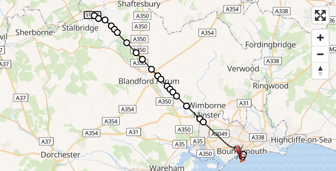
On Wednesday, 28 January 2026 at 13:03, a Air Ambulance Helicopter departed from Stalbridge to Bournemouth. It was the Air Ambulance Helicopter with registration number G-DSAA. The flight lasted 15 minutes. During that period, the aircraft travelled 30 miles at an average speed of 123 miles per hour at a maximum altitude of 1875 feet.
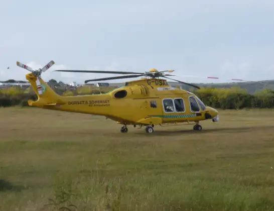
Helicopter: G-DSAA
The helicopter G-DSAA is used as a air ambulance helicopter. The main purpose of this aircraft is to transport a Mobile Medical Team to an incident as quickly as possible, enabling the trauma doctor to provide immediate first aid on site. The aircraft is flying this flight as Air Ambulance Helicopter.
Photo: Andrew Bone
31 miles
1875 feet
123 mph
15 minutes
13:03
13:18

Route
West Undercliff Promenade, 13:18
Bournemouth13:16
English Channel13:16
Bournemouth13:14
Poole13:12
Corfe Mullen13:11
Pamphill13:10
Shapwick13:10
Tarrant Rushton13:09
Blandford Forum13:09
Tarrant Rushton13:09
Blandford Forum13:08
Blandford Camp13:08
Blandford Forum13:08
Stourpaine13:07
Shroton13:06
Child Okeford13:06
West Orchard13:05
Todber13:05
Margaret Marsh13:04
Todber13:04
Love Lane, 13:03
Fifehead Magdalen13:03
Stalbridge13:03
Live flights
Today
Flights Bournemouth
Police Helicopter to Bournemouth Airport8 Jul 16:52
Police Helicopter to Bournemouth Airport6 Jul 18:13
Police Helicopter to Bournemouth Airport30 Jun 14:17
Police Helicopter to Bournemouth Airport23 Jun 16:37
Flights Stalbridge
Air Ambulance Helicopter to Henstridge Airfield11 Feb 15:47
Air Ambulance Helicopter to Stalbridge11 Feb 14:02
Air Ambulance Helicopter to Stalbridge11 Feb 13:49
Helicopter flights on your website?
You can easily display helicopter flights on your own website. Use the embed code.
