Air Ambulance Helicopter to Melling, A683
Wednesday, 28 January 2026 | 11:53 | From Blackburn
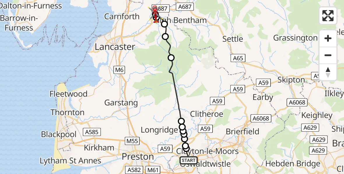
On Wednesday, 28 January 2026 at 11:53, a Air Ambulance Helicopter departed from Blackburn to Melling. It was the Air Ambulance Helicopter with registration number G-NWAA. The flight lasted 11 minutes. During that period, the aircraft travelled 29 miles at an average speed of 161 miles per hour at a maximum altitude of 2775 feet.
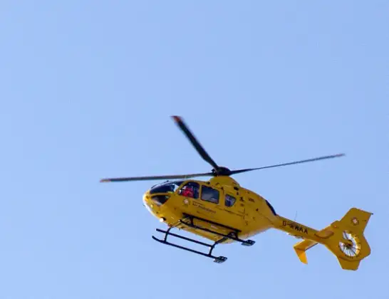
Helicopter: G-NWAA
The helicopter G-NWAA is used as a air ambulance helicopter. The main purpose of this aircraft is to transport a Mobile Medical Team to an incident as quickly as possible, enabling the trauma doctor to provide immediate first aid on site. The aircraft is flying this flight as Air Ambulance Helicopter.
Photo: David P Howard
29 miles
2775 feet
161 mph
11 minutes
11:53
12:04

Route
A683, Lancaster12:04
Melling, Lancaster12:04
Lancaster, Lancashire12:04
Wennington, Lancaster12:03
Wray, Lancaster12:02
Lancaster, Lancashire12:00
Ribble Valley, Lancashire11:56
Hurst Green, Ribble Valley11:55
Ribble Valley, Lancashire11:55
Brockhall Village, Ribble Valley11:55
Copster Green, Ribble Valley11:55
Salesbury, Ribble Valley11:54
Wilpshire, Blackburn11:54
Quarry Street, Lancashire11:53
Today
Police Helicopter to Epping Forest, Green Lane26 Feb 23:43
Flights Melling
Air Ambulance Helicopter to Melling, A68328 Jan 11:53
Flights Blackburn
Air Ambulance Helicopter to Blackburn, Lark Hill13 Feb 10:22
Air Ambulance Helicopter to Melling, A68328 Jan 11:53
Helicopter flights on your website?
You can easily display helicopter flights on your own website. Use the embed code.
