Air Ambulance Helicopter to Melksham, Commerce Way
Tuesday, 27 January 2026 | 13:08 | From Charlcombe
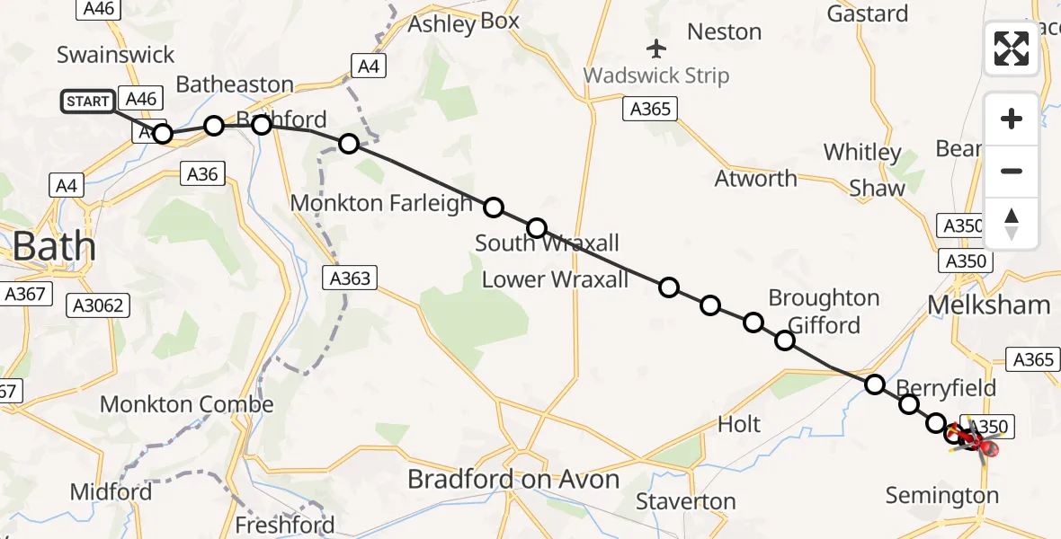
On Tuesday, 27 January 2026 at 13:08, a Air Ambulance Helicopter departed from Charlcombe to Melksham. It was the Air Ambulance Helicopter with registration number G-WLTS. The flight lasted 6 minutes. During that period, the aircraft travelled 10 miles at an average speed of 101 miles per hour at a maximum altitude of 2225 feet.
Helicopter: G-WLTS
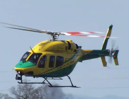
The helicopter G-WLTS is used as a air ambulance helicopter. The main purpose of this aircraft is to transport a Mobile Medical Team to an incident as quickly as possible, enabling the trauma doctor to provide immediate first aid on site. The aircraft is flying this flight as Air Ambulance Helicopter.
Photo: James
10 miles
2225 feet
101 mph
6 minutes
13:08
13:13

Route
Commerce Way, 13:13
Melksham13:13
Trowbridge13:13
Berryfield13:13
Semington13:13
Berryfield13:12
Melksham13:12
Broughton Gifford13:12
Atworth13:11
Holt13:11
Atworth13:11
Lower Wraxall13:10
South Wraxall private Airstrip, South Wraxall (Wiltshire)13:10
Monkton Farleigh13:09
Bathford, West of England13:09
Bathampton, West of England13:08
Bath, West of England13:08
Charlcombe Lane, West of England13:08
Today
Flights Melksham
Flights Charlcombe
Helicopter flights on your website?
You can easily display helicopter flights on your own website. Use the embed code.
