Air Ambulance Helicopter to North Kesteven, Sleaford Road
Monday, 26 January 2026 | 14:58 | From Haltham
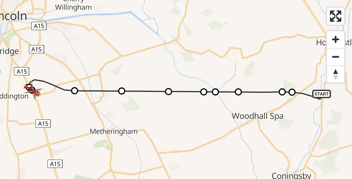
On Monday, 26 January 2026 at 14:58, a Air Ambulance Helicopter departed from Haltham to North Kesteven. It was the Air Ambulance Helicopter with registration number G-LNCC. The flight lasted 8 minutes. During that period, the aircraft travelled 17 miles at an average speed of 124 miles per hour at a maximum altitude of 1075 feet.
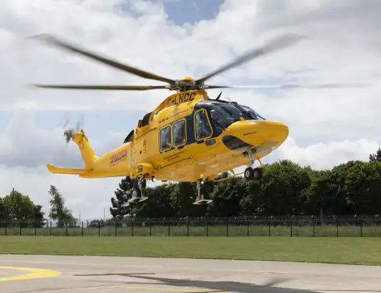
Helicopter: G-LNCC
The helicopter G-LNCC is used as a air ambulance helicopter. The main purpose of this aircraft is to transport a Mobile Medical Team to an incident as quickly as possible, enabling the trauma doctor to provide immediate first aid on site. The aircraft is flying this flight as Air Ambulance Helicopter.
Photo: Lincs & Notts
17 miles
1075 feet
124 mph
9 minutes
14:58
15:06

Route
Sleaford Road, Greater Lincolnshire15:06
North Kesteven, Greater Lincolnshire15:06
RAF Waddington, Lincoln, Lincolnshire15:05
North Kesteven, Greater Lincolnshire15:04
Nocton, North Kesteven15:03
North Kesteven, Greater Lincolnshire15:02
Metheringham, North Kesteven15:01
East Lindsey, Greater Lincolnshire15:01
Stixwould, East Lindsey15:00
Woodhall Spa, East Lindsey14:59
East Lindsey, Greater Lincolnshire14:59
A153, East Lindsey14:58
Today
Flights Haltham
Air Ambulance Helicopter to Haltham, A15326 Jan 13:59
Helicopter flights on your website?
You can easily display helicopter flights on your own website. Use the embed code.
