Air Ambulance Helicopter to Rhydyfelin, Ruthin Way
Monday, 26 January 2026 | 12:49 | From Llangennech
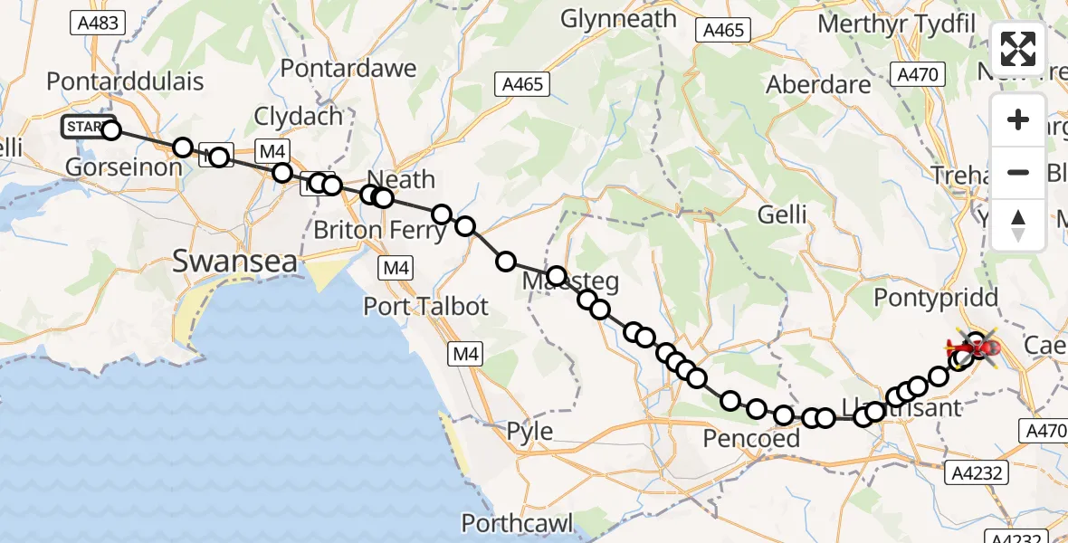
On Monday, 26 January 2026 at 12:49, a Air Ambulance Helicopter departed from Llangennech to Rhydyfelin. It was the Air Ambulance Helicopter with registration number G-WROL. The flight lasted 21 minutes. During that period, the aircraft travelled 37 miles at an average speed of 105 miles per hour at a maximum altitude of 2075 feet.
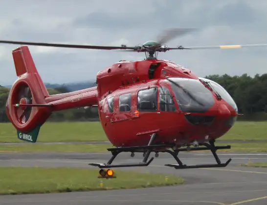
Helicopter: G-WROL
The helicopter G-WROL is used as a air ambulance helicopter. The main purpose of this aircraft is to transport a Mobile Medical Team to an incident as quickly as possible, enabling the trauma doctor to provide immediate first aid on site. The aircraft is flying this flight as Air Ambulance Helicopter.
Photo: James from Cheltenham, Gloucestershire
38 miles
2075 feet
105 mph
22 minutes
12:49
13:11

Route
Ruthin Way, 13:11
Rhydyfelin13:09
Upper Boat13:09
Hawthorn13:08
Church Village13:08
Llantwit Fardre13:07
Beddau13:07
Llantrisant13:07
Pontyclun13:06
Talbot Green13:06
Llantrisant13:06
Llanharan13:05
Bryncae13:05
Brynna13:04
Pencoed13:04
Heol-y-cyw13:03
Bryncethin13:02
Blackmill13:02
Brynmenyn13:02
Llangeinor13:02
Bettws13:01
Pontycymer13:01
Llangynwyd13:00
Garth13:00
Maesteg12:59
Bryn12:58
Pont-rhyd-y-fen12:57
Efail Fach12:56
Neath12:55
Briton Ferry12:55
Neath Abbey12:55
Skewen12:54
Swansea12:54
Tregof12:53
Swansea12:52
Tircoed12:51
Gorseinon12:50
Llangennech, 12:49
Live flights
Today
Police Helicopter to Manchester Barton Aerodrome13 Jul 23:56
Police Helicopter to Bournemouth Airport13 Jul 23:55
Air Ambulance Helicopter to Cardiff Heliport13 Jul 23:38
Police Helicopter to Birmingham Airport13 Jul 23:21
Police Helicopter to Irlam, Twelve Yards Road13 Jul 23:00
Flights Rhydyfelin
Flights Llangennech
Air Ambulance Helicopter to Cardiff Heliport23 Jun 18:10
Air Ambulance Helicopter to Cardiff Heliport5 Mar 18:25
Air Ambulance Helicopter to Dafen, Heol Aur24 Feb 16:12
Air Ambulance Helicopter to Cardiff Heliport29 Jan 18:41
Air Ambulance Helicopter to Cardiff Heliport28 Jan 18:11
Air Ambulance Helicopter to Llangennech28 Jan 16:42
Air Ambulance Helicopter to Ferndale, North Road28 Jan 14:45
Helicopter flights on your website?
You can easily display helicopter flights on your own website. Use the embed code.
