Air Ambulance Helicopter to Kempsey, Holdings Lane
Monday, 26 January 2026 | 10:44 | From Hill Croome
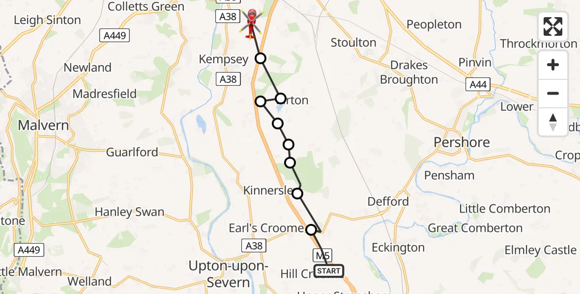
On Monday, 26 January 2026 at 10:44, a Air Ambulance Helicopter departed from Hill Croome to Kempsey. It was the Air Ambulance Helicopter with registration number G-SCAA. The flight lasted 3 minutes. During that period, the aircraft travelled 8 miles at an average speed of 143 miles per hour at a maximum altitude of 1100 feet.
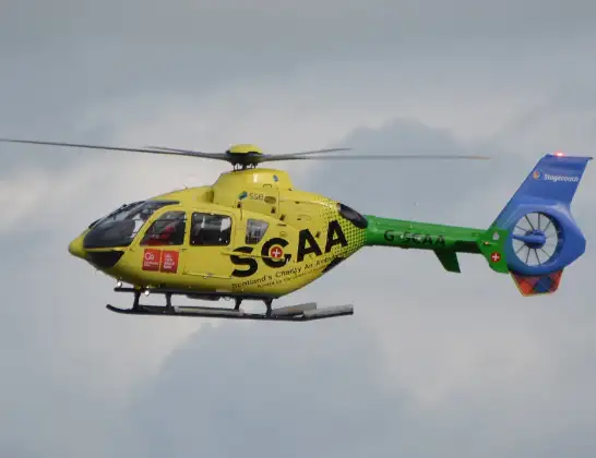
Helicopter: G-SCAA
The helicopter G-SCAA is used as a air ambulance helicopter. The main purpose of this aircraft is to transport a Mobile Medical Team to an incident as quickly as possible, enabling the trauma doctor to provide immediate first aid on site. The aircraft is flying this flight as Air Ambulance Helicopter.
Photo: Jonathan Payne
8 miles
1100 feet
143 mph
4 minutes
10:44
10:47

Route
Holdings Lane, Malvern Hills10:47
Kempsey, Malvern Hills10:47
Pirton, Wychavon10:47
Kempsey, Worcester10:46
Severn Stoke, Malvern Hills10:46
Malvern Hills10:46
Kinnersley, Malvern Hills10:45
Severn Stoke, Malvern Hills10:45
Earl's Croome, Malvern Hills10:45
M5, Malvern Hills10:44
Today
Flights Kempsey
Air Ambulance Helicopter to Eckington, Mill Lane11 Mar 08:31
Helicopter flights on your website?
You can easily display helicopter flights on your own website. Use the embed code.
