Air Ambulance Helicopter to Trowbridge
Sunday, 25 January 2026 | 16:36 | From Watchfield
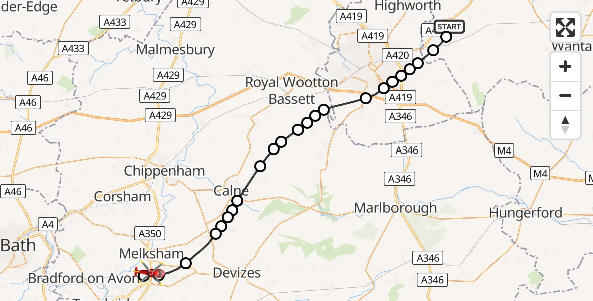
On Sunday, 25 January 2026 at 16:36, a Air Ambulance Helicopter departed from Watchfield to Trowbridge. It was the Air Ambulance Helicopter with registration number G-WLTS. The flight lasted 11 minutes. During that period, the aircraft travelled 30 miles at an average speed of 162 miles per hour at a maximum altitude of 1725 feet.
Helicopter: G-WLTS
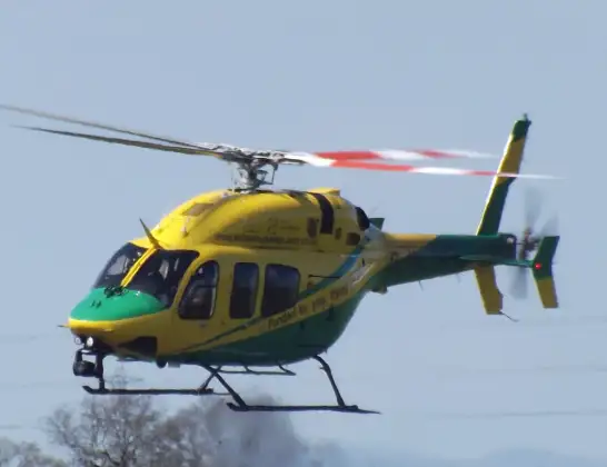
The helicopter G-WLTS is used as a air ambulance helicopter. The main purpose of this aircraft is to transport a Mobile Medical Team to an incident as quickly as possible, enabling the trauma doctor to provide immediate first aid on site. The aircraft is flying this flight as Air Ambulance Helicopter.
Photo: James
31 miles
1725 feet
162 mph
12 minutes
16:36
16:48

Route
Trowbridge, 16:48
Semington16:47
Melksham16:46
Seend Cleeve16:45
Bromham16:44
Heddington16:44
Stockley16:44
Heddington16:44
Calne16:43
Compton Bassett16:42
Hilmarton16:42
Clyffe Pypard16:42
Bushton16:41
Royal Wootton Bassett16:41
Broad Town16:41
Royal Wootton Bassett16:40
Wroughton16:39
Swindon16:39
Eldene16:39
Dorcan16:38
Redlands Airfield, Swindon, Wiltshire16:38
Bishopstone16:38
Bourton, Vale of White Horse16:37
Shrivenham, Vale of White Horse16:37
Wellington Square, Vale of White Horse16:36
Live flights
Police Helicopter on its way from Ewelme13 Jul 22:24
Today
Police Helicopter to Manchester Barton Aerodrome13 Jul 23:56
Police Helicopter to Bournemouth Airport13 Jul 23:55
Air Ambulance Helicopter to Cardiff Heliport13 Jul 23:38
Police Helicopter to Birmingham Airport13 Jul 23:21
Police Helicopter to Irlam, Twelve Yards Road13 Jul 23:00
Flights Trowbridge
Air Ambulance Helicopter to Henstridge Airfield12 May 19:06
Flights Watchfield
Air Ambulance Helicopter to Trowbridge25 Jan 16:36
Helicopter flights on your website?
You can easily display helicopter flights on your own website. Use the embed code.
